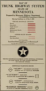
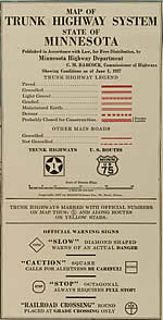
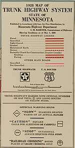
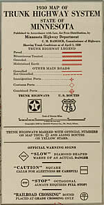
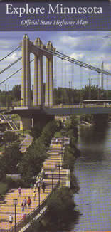
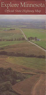
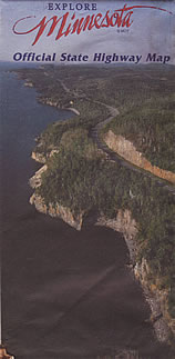
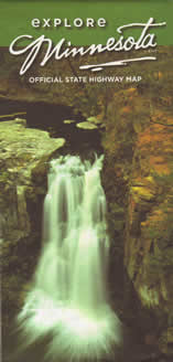
The Official Highway Map Drawer
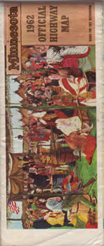
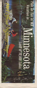
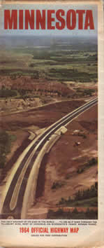
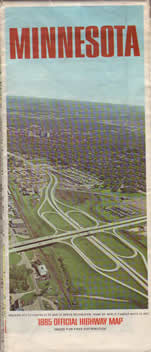
Click on the maps below to "unfold" the map and take a look inside!
Most of the images and information for these pages were taken from my personal collection. MnDOT recently scanned its earliest official maps for inclusion in the Minnesota Digital Library, which allowed me to include images and information on maps not yet in my collection (indicated by a gray background).
I have decided to only include the maps issued from 1923 on - the 1923 map is the first that can really be considered a "tourist map", usable to navigate the state's new trunk highway system. The pages linked below only show the basic map issued for each year - variants are not shown (for a better run down of the other editions, see the Minnesota Motoring Memories Page).
>> Skip Ahead to an Era
- Era 1: 1923-1932 - The McGill-Warner "Red" Maps
- Era 2: 1933-1940 - The McGill-Warner "Yellow" Maps
- Era 3: 1940-1950 - The Department Of Highways "Black and White" Maps
- Era 4: 1951-1961 - The Gousha Maps
- Era 5: 1962-1966 - The Modern "Large Size" Maps
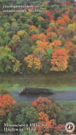
- Era 6: 1967-1983/84 - The "Mini-Maps"
- Era 7: 1985/86-Present - The "Explore Minnesota" Maps
Era 1: The McGill-Warner "Red" Maps, 1923-1932
1923 |
1924 |
1925 |
1926 |
1927 |
1928 |
1929 |
1930 |
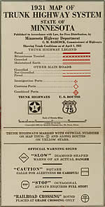
1931 |
1932 |
Era 2: The McGill-Warner "Yellow" Maps, 1933-1940
1933 |
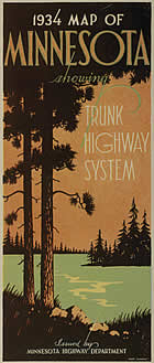
1934
|
1935
|
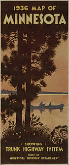
1936
|
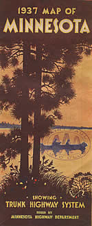
1937 |
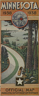
1938
|
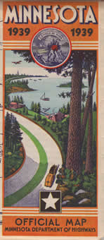
1939 |
1940 (Adv. Edition)
|
Era 3: The "Black-and White" Department of Highways Maps, 1940-1950
1940 |
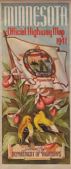
1941 |
1942 |
1946 |
1947 |
1948 |
1949 |
1950 |
Era 4: The Gousha Maps, 1951-1961
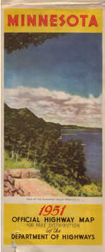
1951 |
1952 |
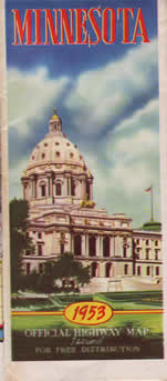
1953 |
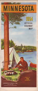
1954
|
1955
|
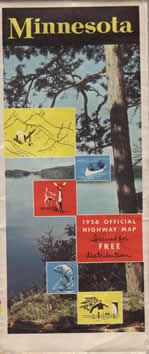
1956
|
1957
|
1958
|
1959
|
1960
|
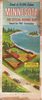
1961
|
Era 5: The Modern "Large Size" Maps, 1962-1966
Era 5a: The "Blue" Maps
1962
|
1963
|
1964
|
Era 5b: The "Orange" Maps
1965
|
1966
|
Era 6: The "Mini-Maps", 1967-1983
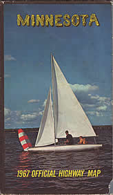
1967 |
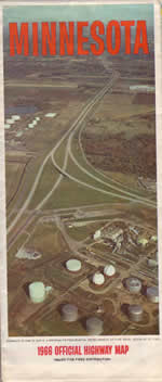
1968 |
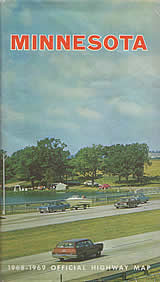
1969 |
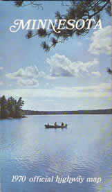
1970 |
1971 |
1972
|
1973
|
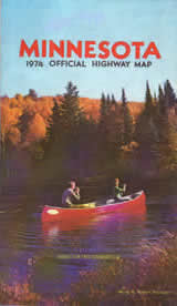
1974
|
1975
|
1976
|
1977-78
|
1979-80 |
1981-82 |
1983-84 |
Era 7: The "Explore Minnesota" Maps, 1985-Present
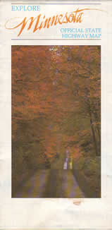
1985-86
|
1987-88
|
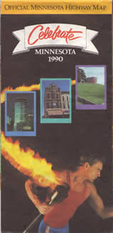
1989-1990
|
1991-92
|
1993-94
|
1995-96
|
1997-98
|
1999-2000
|
2001-02
|
2003-04
|
2005-06
|
2007-08
|


