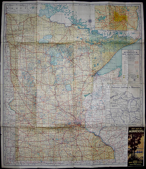
1937 Map of Minnesota Trunk Highway System

Era 2: The McGill-Warner "Yellow" Maps, 1933-1940

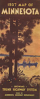
Mouse Over to See Reverse Side


Previous Year (1936) << 1937 >> Next Year (1938)

Stats:

  • Size: 38" x 32" unfolded, 4" x 9" folded.
  • Scale: 1 inch = 12 miles
  • Conditions as of: April 1, 1937
  • Commissioner of Highways: N. W. Elsberg
  • Cartographer: McGill - Warner Co, St. Paul

Comments:

  • The folding pattern of the 1937 map was modified from the one used on the 1934 through 1936 maps (see image, left). Note how the cover has been moved to the lower-right corner (it was previously one panel higher). This made room for an inset map of U.S. highways leading to Minnesota (previously on the back of the map).

>> Back to the Map Drawer