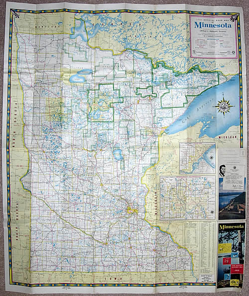
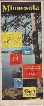
Mouse Over to See Reverse Side

|

Stats:
- Size: 38" x 32" unfolded, 4"
x 9" folded.
- Scale: 1 inch = 12 miles
- Cartographers: The H.M. Gousha Company.
- Lithographers: McGill-Warner Co.
- Commissioner of Highways: M.J. Hoffmann.
Comments:
- The Department of Highways used the McGill-Warner company as the lithographer for the 1956 map. McGill-Warner had been the cartographer and printer of the official maps between 1923 and 1940.
- This was the first map to not give a "conditions as of" date.
- State route lables were switched to squares instead of circles to reflect Minnesota's new route markers.
- The background of the city insets on the back of the map were made pink. Pink shading was also used for the border of the map key.
|