Mouse Over to See Reverse Side

|

Stats:
- Size: 30" x 26" unfolded, 4.5"
x 7.5" folded
- Scale: 1 inch = 15.5 miles
Comments:
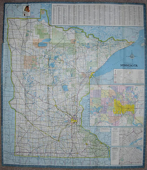
- The 1967 map was the first of the "mini-maps", essentially reduced-size versions of the maps issued in 1965 and 1966. The cartography remained exactly the same.
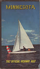
- The 1967 map was the first two feature two covers when folded.
- The front of the map featured the Twin Cities inset, the first downtown Minneapolis and St. Paul insets, plus a listing of cities and towns.
- The reverse side featured color photos, a new national highway map, Minnesota's state symbols, city insets, a Minnesota mileage chart, a state park guide, and a feature on various street signs, signals, and pavement markings.
|