Mouse Over to See Reverse Side

|

Stats:
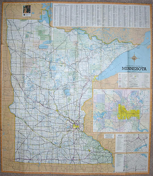
- Size: 30" x 26" unfolded, 4.5"
x 7.5" folded
- Scale: 1 inch = 15.5 miles
Comments:
- The 1968 map was virtually identical in layout to the map issued in 1967 (except that orange was used as the overall color scheme instead of blue).
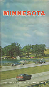
- This was the Highway Department's first attempt at issuing the official map bi-annually (hence the 1968-1969 legend). However, an updated map with the same cover was issued the following year.
- The reverse side included a feature on the different types of freeway interchange, plus a few other safety laws for motorcyclists and operators of slow-moving vehicles.
- The Duluth inset featured a close-up of downtown for the first time.
|