Mouse Over to See Reverse Side
|
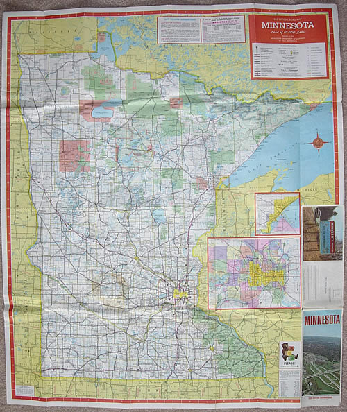
Stats:
- Size: 38" x 32" unfolded, 4"
x 9" folded
- Scale: 1 inch = 12.5 miles
Comments:
- The 1965 map featured myriad updates to the standard cartography introduced in 1962. Many of the changes introduced in 1965 are still in use today.
- Road lines were universally updated. Trunk highway lines were widened and made more bold. Symbols for interstate highways and divided highways were changed to what is still in use today. Also, a symbol for multilane undivided highways was added for the first time.
- Symbols for the following were added: Commercial airports, unincorporated towns and U.S. ports of entry. Several other symbols were heavily modified.
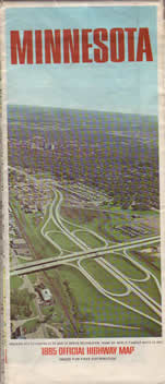
- The theme on the back of the map in 1965 was "The Nation's Wilderness Playground". Featured on the back are maps of canoe routes around Minnesota, as well as a large map of the arrowhead region.
|
