Mouse Over to See Reverse Side

|

Stats:
- Size: 38" x 32" unfolded, 4"
x 9" folded
- Scale: 1 inch = 12 miles
- Commissioner of Highways: James C. Marshall.
Comments:
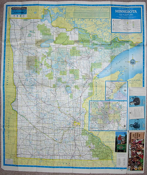
- The 1962 official map introduced a totally new cartography style to both the main map and all insets. A modified form of this style is still in use today. The original form used on the 1962 map was only used thorugh 1964.
- The layout of the front of the map is essentially the same as that used in 1961. The 1963 and 1964 maps were nearly identical.
- The 1962 map used a deep blue coloration for borders - the same color would be used in 1963 and 1964.
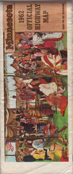
- The back of the map featured city insets loosely arranged around a feature on the history of Native Americans in Minnesota.
- The 1962 map was themed around the 100th anniversary of the end of the 1962 Dakota Conflict.
|