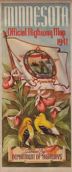
Mouse Over to See Reverse Side

|

Stats:
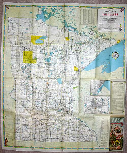
- Size: 38" x 32" unfolded, 4"
x 9" folded.
- Scale: 1 inch = 12 miles
- Conditions as of: May 1, 1941
- Commissioner of Highways: M.J. Hoffmann.
Comments:
- The 1941 map finalized the new format introduced in 1940. Modifications included updates to the color scheme, the removal of the township and range lines, and the drawing of trunk highways within the city limits of incorporated towns. The overall cartography revised on the 1941 map was used through 1950, with a few later modifications.
- The trim around the edges was modified. An arrowhead and a
french symbol representing Minnesota's earliest residents (the Indians
and the French fur traders respectively) were added to the top corners. A gopher
in the lower left corner was added to commemorate the 1940 Gopher football team's
national championship.
- The 1941 map was the first to have a back cover when folded, featuring the governor's
message and some basic safety laws. The width and western extent of
the Twin Cities inset was reduced to compensate.
- The 1941 map was the first to feature color photographs on the reverse
side. These were arranged around a colorful depiction of pheasants
and fish hanging from a set of highway markers.
|