Home >> Projects >> U.S. 61 >> Modern Highway Photo Galleries
 Modern Highway Photos: La Crosse to Winona
October, 2007 (Page 4)
>> Jump to Page: 1 | 2 | 3 | 4 | 5 | 6 | 7 | 8 | 9 | 10

After reaching the state line I turned around and headed back into Minnesota. This first northbound photo is looking west across
the interstate bridge.

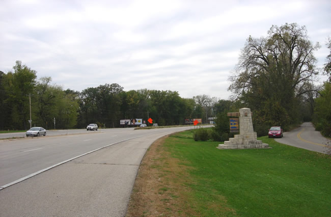
Looking west just after passing over the interstate bridge. The state line
marker is visible on the right, as well as part of U.S. 61's original alignment,
bypassed way back in 1941.

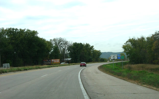
Looking west on the way to La Crescent. Note the three route markers. State
Highway 16 was originally U.S. Highway 16 before about 1979. U.S. 16 was replaced
by state routes with the same number on either side of the state line.

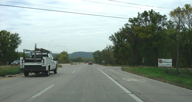
At the entrance to the Sportsman's Landing. Note the sign for La Crescent
on the right, advertising it as the "Apple Capitol of Minnesota".

Looking west down U.S. 61/U.S. 14/ MN 16 towards La Crescent from Shore Acres
Road. Note the beginning of the construction zone ahead.

Entering the construction zone...

A view of the new alignment into La Crescent, still under construction (right).
The guard rail of the new Chestnut Street overpass is visible.
Roadside Structures in La Crescent

The stone retaining wall and bench structure at the east end of Main Street
was constructed as part of a roadside development project in conjunction with
the upgrade of U.S. 61/U.S. 14 to four lanes through La Crescent in 1941.
It was once referred to the "heave-ho" or "heaving rail"
by locals according to a MnDOT report, owing to its use by transients and
their habit of heaving empty bottles towards the highway and/or vomiting.

A rather worn marker for the Apple Blossom Scenic Drive at Main and Chestnut
Streets. The southbound ramp to Main Street from U.S. 61/U.S. 14 is visible
on the left.

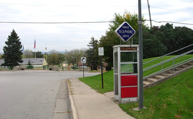
A public telephone booth on Main Street in La Crescent in remarkably good
condition.

Concrete picnic tables at the intersection of Walnut and 2nd Street South.
>> Next Page
>> Page Index
- Page 1 - Southbound on I-90
- Page 2 - Southbound, La Crescent and the Jct. with State Hwy. 16
- Page 3 - Southbound, From La Crescent to the Wisconsin State Line
- Page 4 - Northbound, From the Wisconsin State Line to La Crescent
- Page 5 - Northbound, At the South Jct. with I-90 Near Dresbach
- Page 6 - Northbound, From Dakota to La Moille
- Page 7 - Northbound, From La Moille to Homer
- Page 8 - Northbound, From Homer to the Jct. with State Hwy. 43 at Winona
- Page 9 - At Winona, From the Jct. with State Hwy. 43 to Gilmore Avenue
- Page 10 - From the Jct. with U.S. 14 at Winona to County Road 32 at Goodview
>> Back to the Photo Gallery Index
>> back to top
