
Home >> Projects >> U.S. 61 >> Modern Highway Photo Galleries
 Modern Highway Photos: Through St. Paul's East Side
May, 2007 (Page 4)
>> Jump to Page: 1 | 2 | 3 | 4 | 5
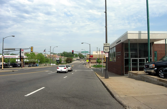
Looking north on Arcade Street towards Minnehaha Avenue. U.S. 61 has used Arcade Street since it was first marked in 1926. It is the only U.S. route to still use surface streets in the metro area. The 3M plant and
the bridge over Phalen Boulevard and a set of railroad tracks are visible
ahead.

On the bridge over Phalen Boulevard, constructed in 2002 to replace the previous
structure completed in 1949 (when there was nothing but railroad tracks underneath).
Ahead is a relatively modern commercial district with a strip mall including
a Rainbow Foods among other typical suburban fare. The mall was constructed
on the site of the Seeger Refrigerator Company factory, which closed in 1984
(source: Twin Cities Then and Now, Larry Millett).
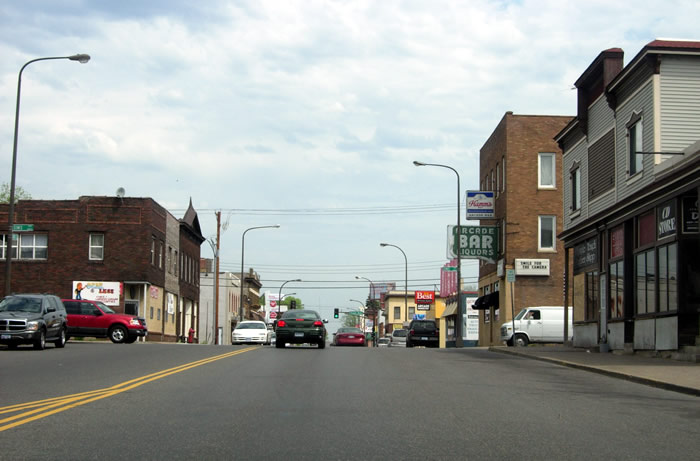
Looking north on Arcade Street towards Sims Avenue. Arcade was also an historic
streetcar line. Unlike the areas further south, this section of Arcade has
escaped a great degree of modernization, still giving the feel of a classic
American commercial strip, although neighborhood bars now seem to be the primary
business activity. Note the classic "Arcade Bar" on the right, still
sporting a Hamms' sign, years after the old Hamms' Brewery on St. Paul's east
side closed down.
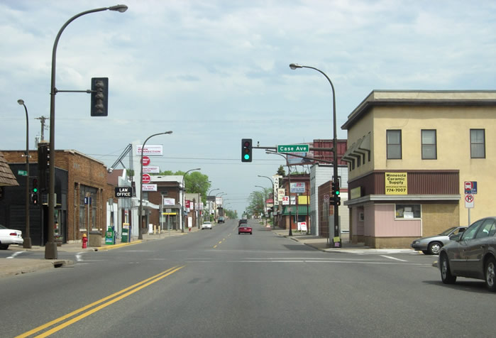
Looking north at Case Avenue, where streetcars turned off of Arcade Street
to enter the surrounding neighborhoods.
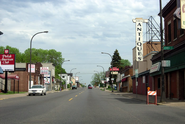
Looking north at Jenks Avenue. Arcade Street is like a hillier version of
East Lake Street in Minneapolis, lined with aging commercial buildings containing
specialized neighborhood oriented businesses (car shops, pizza joints, bars,
etc.)
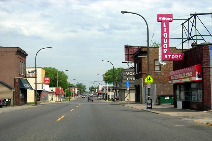
More bars and liquor stores, looking north towards Jessamine.
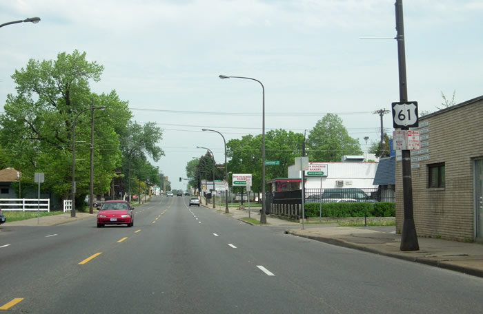
An aging route marker, looking north towards Hawthorne Avenue.
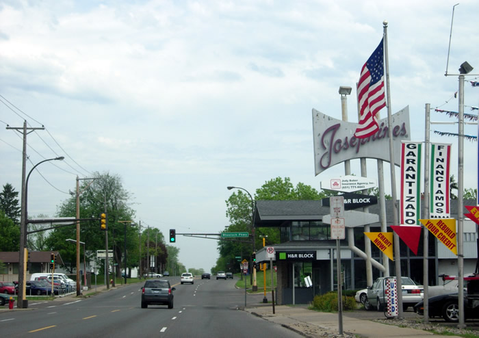
Looking north towards Wheelock Parkway.
>> Next Page
>> Page Index
- Page 1 - The West Junction with Interstate 94 / U.S. 10 / U.S. 12 at Mounds Boulevard
- Page 2 - Mounds Boulevard
- Page 3 - East 7th Street
- Page 4 - Arcade Street
- Page 5 - St. Paul to State Highway 36
>> Back to the Photo Gallery Index
>> back to top