
 Historic U.S. 61: Old 2-Lane Alignment in the Winona Area
Old 2-Lane Alignment in the Winona Area
Located In (north to south): Rollingstone Township, City of Goodview, City of Winona, Homer Township, Winona County
Bypassed: 1957 / 58
Length: 11.04 miles
Also Marked As:
 1933-1957/58**, 1926-1929*
 Until 1934
 1921-1929*
 1934-Present ***
* On Gilmore Ave between Villa St and Junction Ave.
**East of Junction Ave
***Jct. Co Rd 17 to Jct. Co Rd 32
Photo Tour - Northbound - Photos from October, 2007
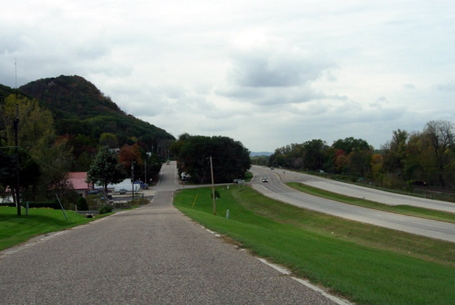
Looking west on Old Homer Road (actually a service drive constructed in 1958).
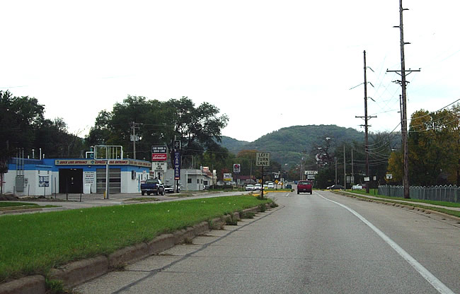
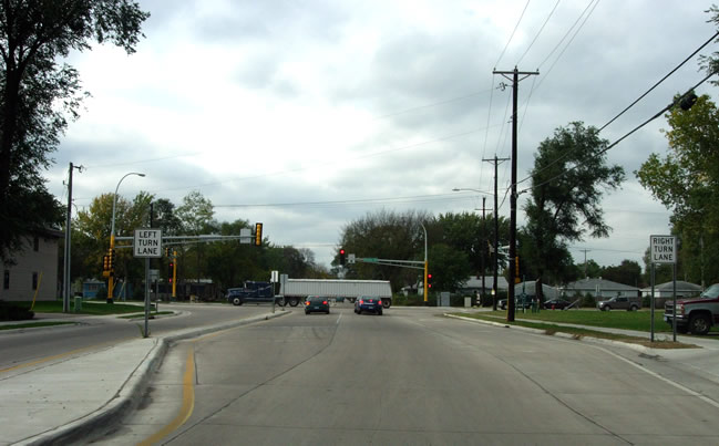
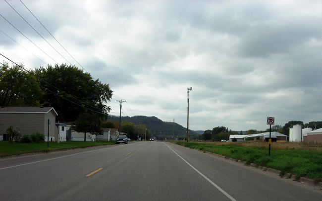
The old alignment of U.S. 61 starts at the intersection ahead. Note
the contrast of the old road (left) with the modern four-lane road (right).
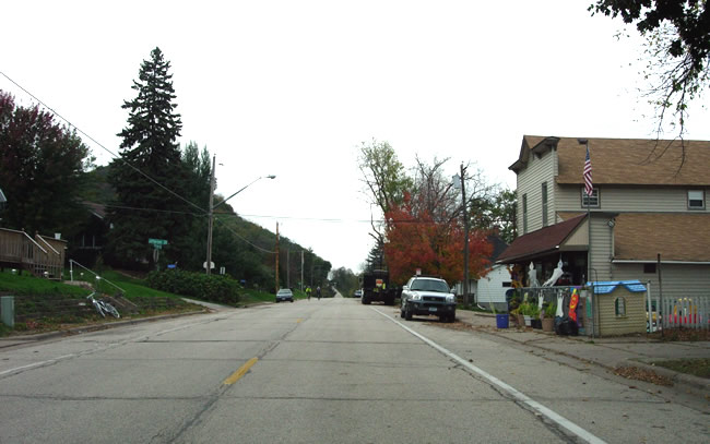
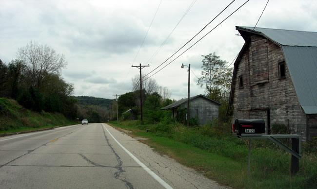
On Mathilde Street in Homer.
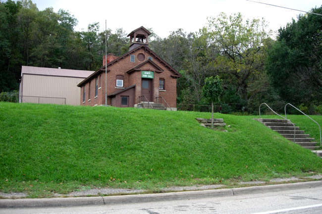
The Homer Town Hall, looking south across the old highway.
Bridge #4648, constructed in 1926/27.
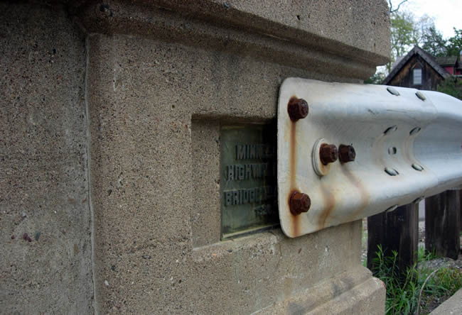
The dedication plaque of bridge #4648.

Another view of the bridge, with surrounding drainage structures also visible.
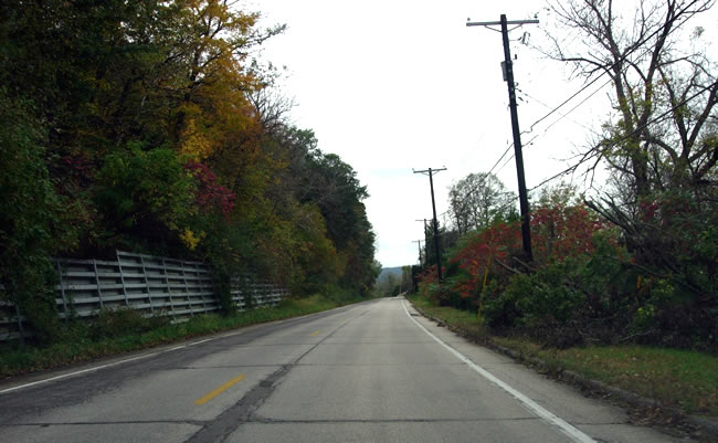
Westbound on County Road 15 between Homer and Winona. Note the metal crib walls on the left. According
to the project log and construction plans the wall was constructed in 1951
to replace a series of existing masonry walls.
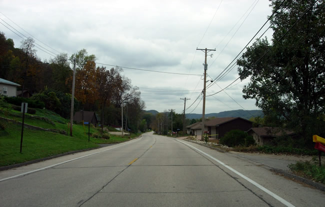
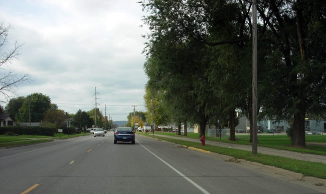
Residential areas along County Road 15.
The other surviving Department of Highways bridge on County Road 15, Bridge
#4649, showing yet another example of one of the standard designs used by
the Department of Highway during the 1920's.
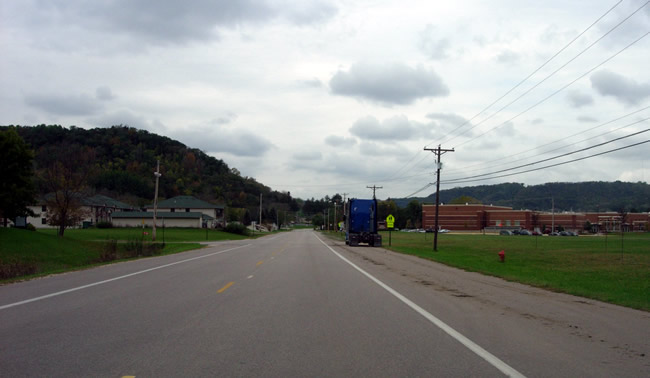
Entering Winona on County Road 15. Winona Middle School is visible on the
right.
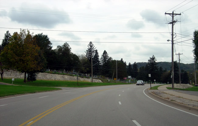
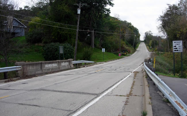
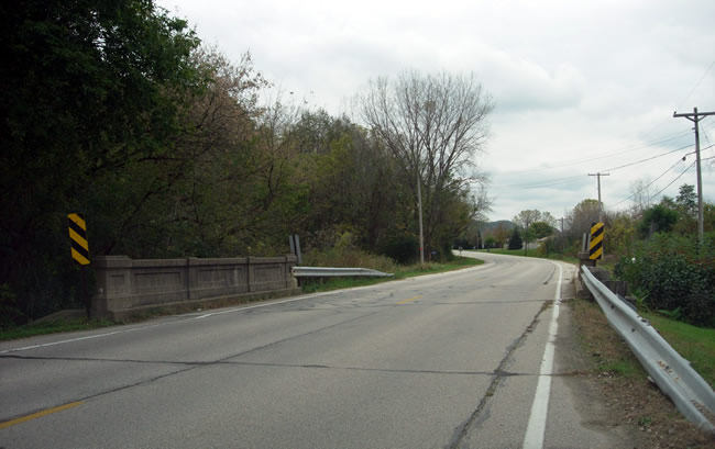
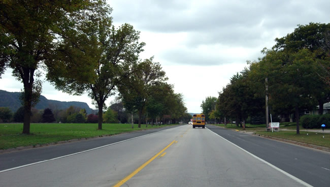
Approaching the junction with County Road 17 at St. Mary's Cemetery. The road here has been widened considerably since being bypassed in 1958.
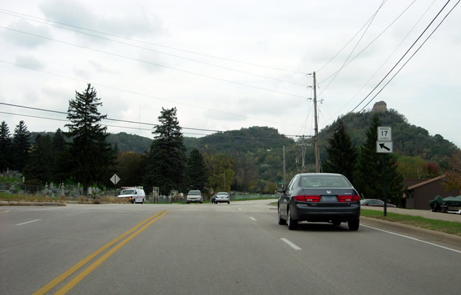
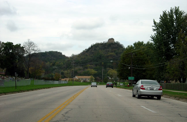
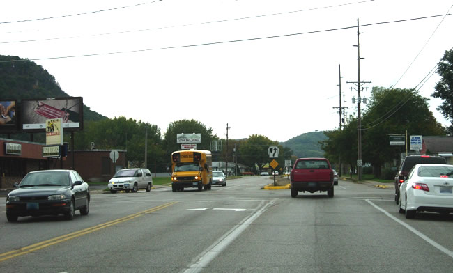
At the junction with County Road 17. Sugar Loaf Hill is visible on the right.
The change-over from County Road 15 to 17 is not marked.
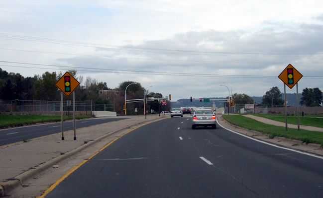
Approaching the bridge over East Burns Valley Creek. Note how the road has
expanded to four lanes. This section of the old alignment was reconstructed
in about 1981 as part of a project to improve the junctions on State Highway 43.
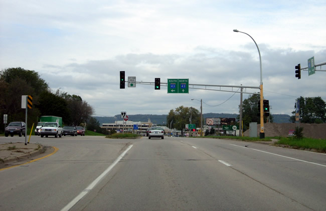
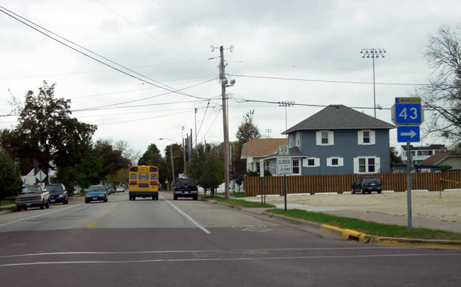
At the junction of County Road 17 with State Highway 43, which takes over
the rest of U.S. 61's old alignment into Winona. The configuration of the
junction dates back to the 1981 reconstruction project. This was the approximate
site of U.S. 61's south junction with State Highway 43 from 1933 until 1958.
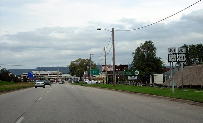
Trailblazer signage for the modern junction of State Highway 43 with U.S.
61/U.S. 14.
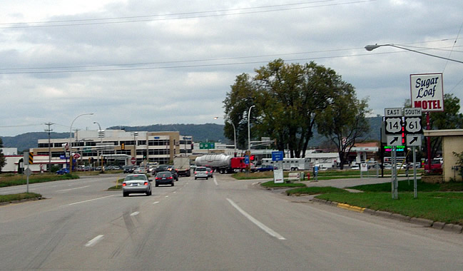
At the junction.
Also note the Sugar Loaf Motel.
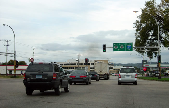
Crossing modern U.S. 61/U.S. 14 into Winona on State Highway 43.
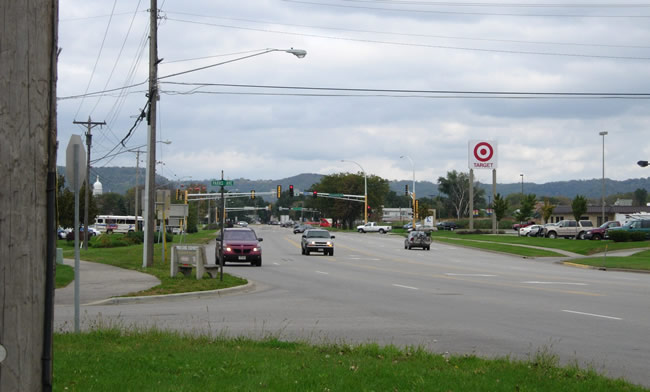
Looking north up the modern incarnation of Mankato Avenue from Parks Avenue,
now the center of one of Winona's busiest retail areas. The two old layers
of pavement may still lie beneath the east side of the road.
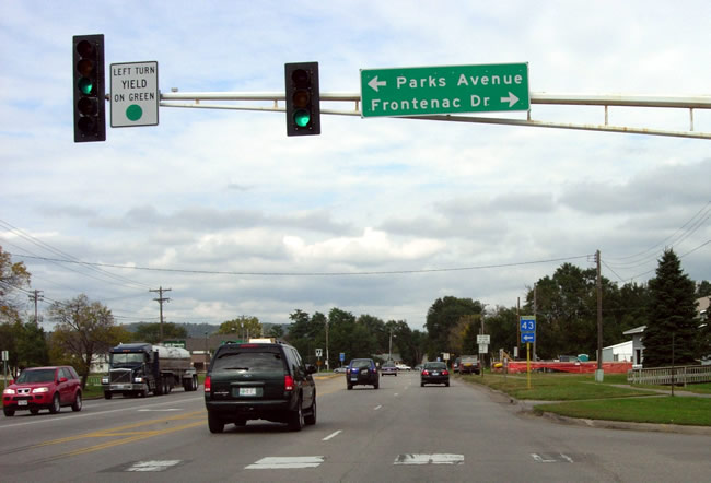
Looking north on Mankato Avenue at Frontenac Drive. Note the trailblazer sign
indicating the turn-off onto Sarnia Street for State Highway 43 ahead.

Waiting my turn to make a left onto Sarnia from Mankato Avenue to follow the
old route of U.S. 61.
Looking west on Sarnia Street. This section of the old alignment was reconstructed
in 1977.

At the Highway 43 turn off at Main Street, site of the north junction of U.S.
61 with Highway 43 from 1934 to 1957.
Another view at Main Street, showing the first County Road 32 marker.
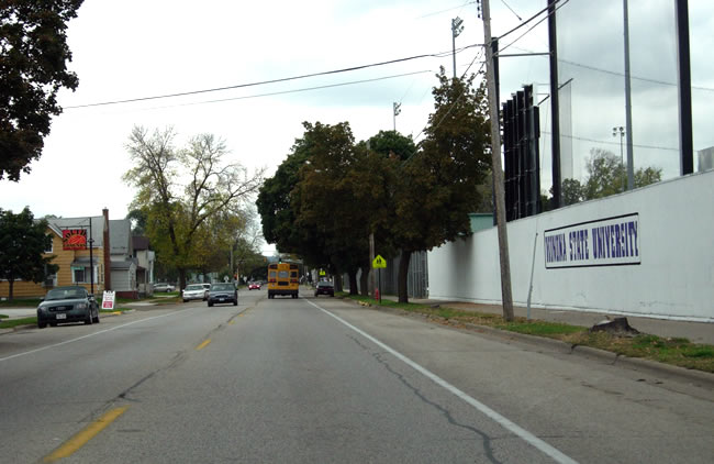
Looking west on Sarnia towards the intersection with Huff Street. U.S. 61's
old alignment skirts the southern edge of the Winona State University campus.

On Sarnia, just past Sioux Street. U.S. 61's old alignment west of Sioux Street
has been widened, and center islands have been added.
Looking west at Gilmore and Villa.
Approaching Junction Street on Gilmore Avenue.

Looking west on Gilmore Avenue at Junction Street, the site of the junction
of U.S. 61 with U.S. 14 from 1929 to 1957, as well as U.S. 14's eastern terminus
from 1929 to 1933 (Old State Highway 7, the original designation for U.S.
14 across southern Minnesota, also began at this point from 1929 until it
was retired in 1934). U.S. 61 curved right onto Junction Street towards Wabasha,
while U.S. 14 continued straight ahead on Gilmore Avenue towards Rochester.

Another view of the junction, looking northwest up Junction Street from Gilmore.

Looking west down Gilmore Avenue (old U.S. 14 / MN 7) from Junction Street
towards modern U.S. 61/U.S. 14. Note the Sterling Motel.
Turning north onto Junction Street from Gilmore. The building on the left
is an old motel (still operating). Also note the County Road 32 marker ahead.
Looking north on Junction Street towards the intersection with Broadway (6th).
Looking north on Junction Street at 5th Street.
Looking northwest at the recently reconstructed intersection with Pelzer Street.
Note the new pavement and center island.
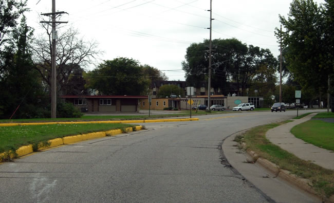
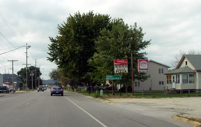
Driving by a small park in Goodview, just east of 44th Avenue.
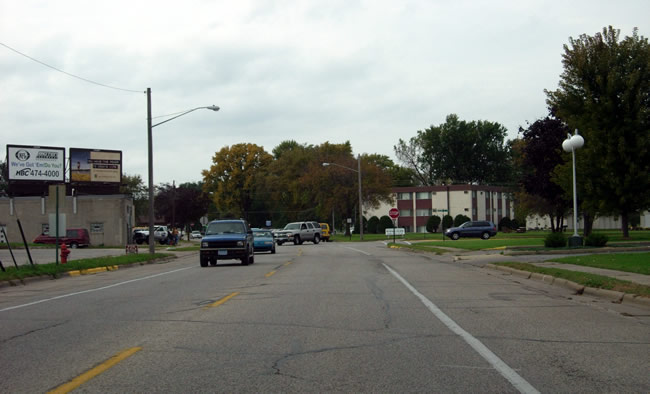
Looking northwest, just east of 54th Avenue.
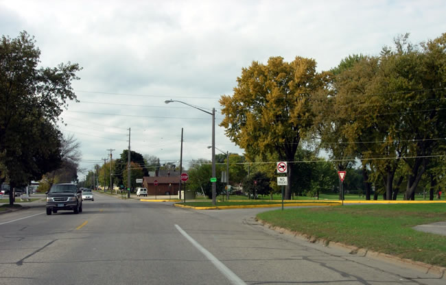
On the western outskirts of Goodview. The old road to Minnesota City once
crossed the railroad tracks just ahead on the right. The old at-grade crossing
was removed when the first paved highway to Minnesota City was constructed in 1926. The crossing met the tracks
at a shallow angle, and had a reputation for being dangerous. One story in
the Winona Republican herald from the early 1920's told the unfortunate story
of a motorist who was watching a train moving away down the tracks, and failed
to notice the other another one heading directly for him. His vehicle and
the train met at the same instant at the crossing. He was apparently thrown
so forcibly, that he was ripped out of his clothes and killed instantly (they
gave quite a bit more detail in those days).
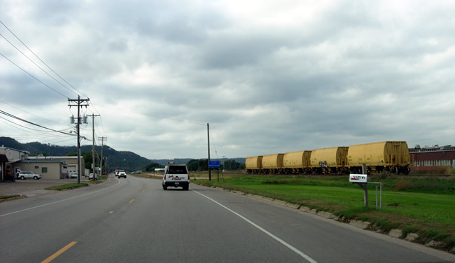
Driving west on County Road 32 by Lake Village trailer park.