
 Historic U.S. 61: Old 2-Lane Alignment in the Winona Area
Old 2-Lane Alignment in the Winona Area
Located In (north to south): Rollingstone Township, City of Goodview, City of Winona, Homer Township, Winona County
Bypassed: 1957 / 58
Length: 11.04 miles
Also Marked As:
 1933-1957/58**, 1926-1929*
 Until 1934
 1921-1929*
 1934-Present ***
* On Gilmore Ave between Villa St and Junction Ave.
**East of Junction Ave
***Jct. Co Rd 17 to Jct. Co Rd 32
Photo Tour - Southbound - All photos were taken in October, 2007

Looking southeast down County Road 32 from modern U.S. 61. The old alignment
actually starts at the bend in the distance. Note the sign for "Lyle's
Interiors" on the right.
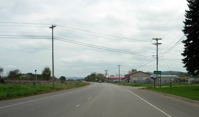
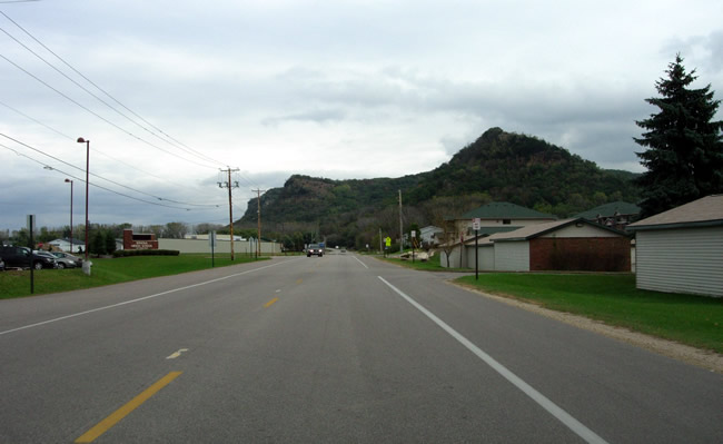
Entering Goodview.

The north entrance to Lake Village, a large trailer park that appears to have
been constructed on infill on the north side of large lake/wetland between
County Road 32 and modern U.S. 61.

Approaching the intersection with 54th Avenue (County Road 54), which provides
access to the Winona airport and an industrial park.
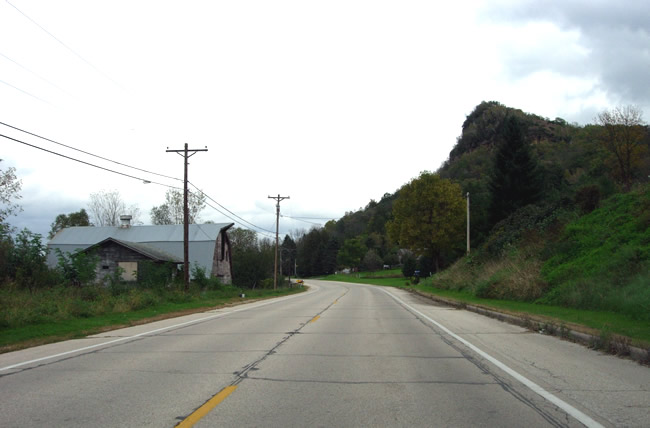
Looking east, just past 51st Ave in Goodview. Note the sudden increase of
trees ahead, marking the transition between Goodview's industrial and residential
districts.
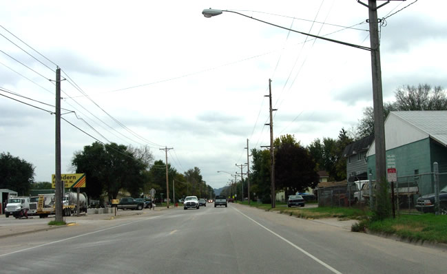
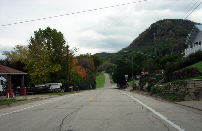
At 41st Avenue. Note the rustic looking building on the right.
At least there was one cheesy road-side oddity on old U.S. 61.

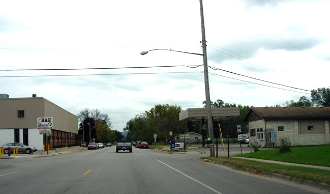
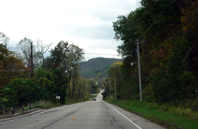
Looking east just after passing Pelzer Street, now within the Winona city
limits. Note the new concrete pavement and center island.
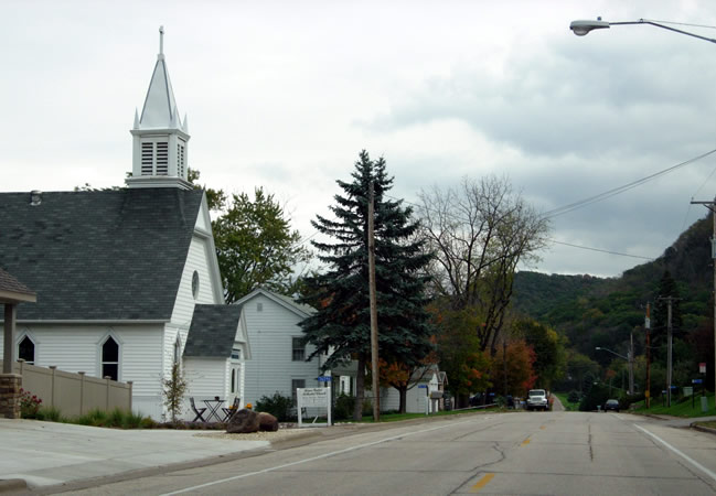
Looking southeast at the intersection of 5th Street (on the left) with Junction
Street/County Road 32. 5th was actually the original alignment of Constitutional
Route 3 into Winona from Minnesota City. The route into town was moved south
one block to Broadway (6th) when the first modern paved road was constructed
in 1926, just before U.S. 61 was marked.
Looking southeast down Junction Street, just south of Broadway. This stretch of
road was constructed in 1929 to realign U.S. 61 south to Gilmore
Avenue from its original route into town on Broadway.

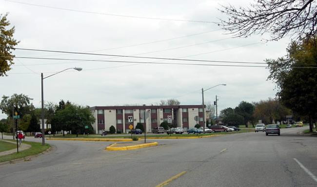
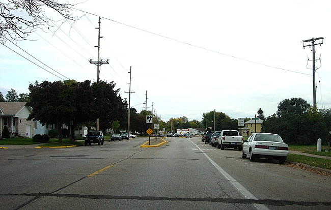
Looking southeast on Junction Street towards Gilmore Avenue.
This was the site of the north junction of U.S. 61 with U.S. 14 from 1929
until 1957. It was also U.S. 14's eastern terminus from 1929 until 1933 when
it was extended east to Wisconsin, duplexed with U.S. 61. Note the sign for
County Road 32, which marks the old route. Also note the old motel ahead.
The old alignment continues on Gilmore
Avenue.
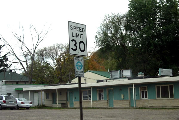
A close-up of the old motel.

Looking east on Gilmore Avenue between Junction Street and Villa. Note the
center island, added after U.S. 61 was moved onto the modern divided highway.
Looking east at Francis Street. The curve onto Sarnia Street is visible ahead.

Looking east on Sarnia at Grand Street. The divided road gives way to a standard
two-lane city street east of Sioux Street.

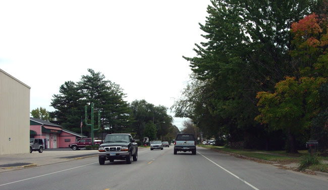
At Huff Street. Note the tourist oriented direction sign on the right.
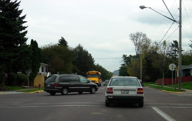
An "action" shot at Sarnia and Main Streets. Sarnia Street east
of this intersection is still part of State Highway 43. This was the north
junction of U.S. 61/U.S. 14 with Highway 43 from 1934 until 1957.
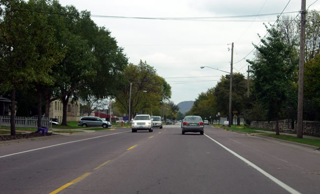
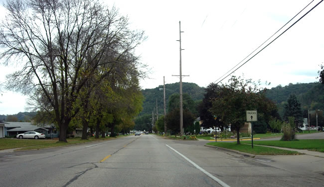
Looking east on Sarnia towards Franklin.

On Sarnia east of Franklin. This part of the old alignment was reconstructed
in 1977.
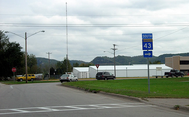
The turn-off of Highway 43 onto Mankato Avenue, looking east.
Looking south on Mankato Avenue through the junction with modern U.S. 61/U.S. 14. The road on the far right ascending the hill is Sugarloaf Road. It was actually the original alignment of U.S. 61 before 1929. It was taken over by Highway 43 in 1929, and used until 1933.

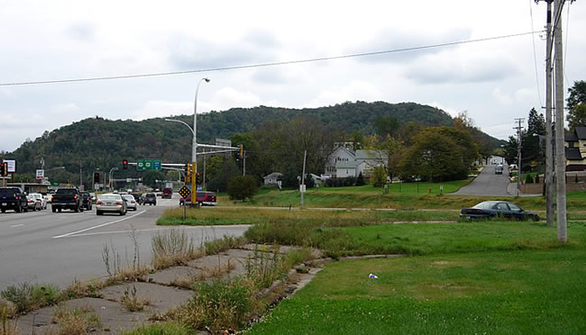
At the junction of County Roads 17 and 15 at St. Mary's Cemetery, looking southeast. U.S. 61 followed what
is now County Road 15 to the left towards Homer.
On the southeastern edge of Winona. Winona Middle School is on the left.
Looking east towards Homer.

The historic Bunnell House in Homer, once directly accessible from U.S. 61/U.S.
14 (the old highway is on the right).
Looking east through Homer (above and below).
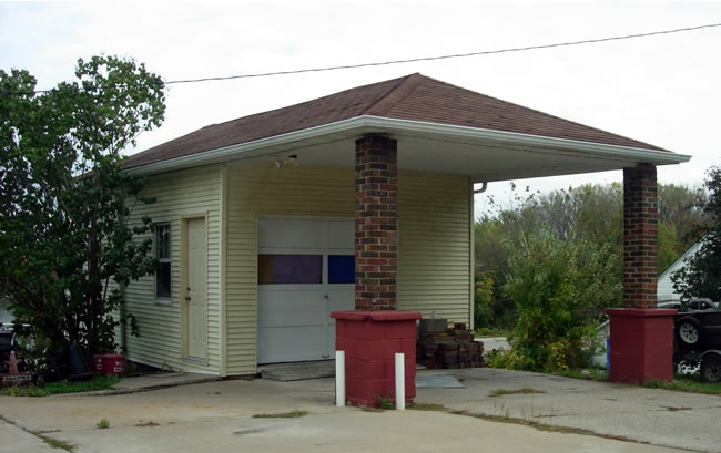
The possible remains of a defunct service station?

The eastern end of the old alignment. The previous two-lane road curved to
the north (left) here onto the right-of-way of the modern four-lane road.
The road ahead was constructed in 1958 as a service drive.