 Historic U.S. Highway 65: Old Route at Albert Lea (Broadway and William Street)
Old Route at Albert Lea (Broadway and William Street)
Located: In downtown Albert Lea, on Broadway between Main and William Streets, and on William Street between Broadway and U.S. 65.
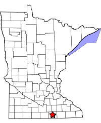
Historic Context: City streets developed to connect to the first generation paved highways leading into Albert Lea.
Length: 0.3 miles
Constructed: Broadway in use by U.S. 65 in 1926, William Street in use in 1929. Originally paved by the city with wood blocks on top of a concrete base, except for brick pavement for 1.5 blocks on William Street between Elizabeth Ave and just east of Lake Ave. All wood block replaced with concrete in 1934.
Also On: 


Bypassed: 1952, by construction of the current divided highway to the south.
Status: Intact, repaved with asphalt.
Access: Public. Connects directly with modern U.S. 65 at both ends.
More U.S. 65 Articles
North >> Stevens Street, Albert Lea
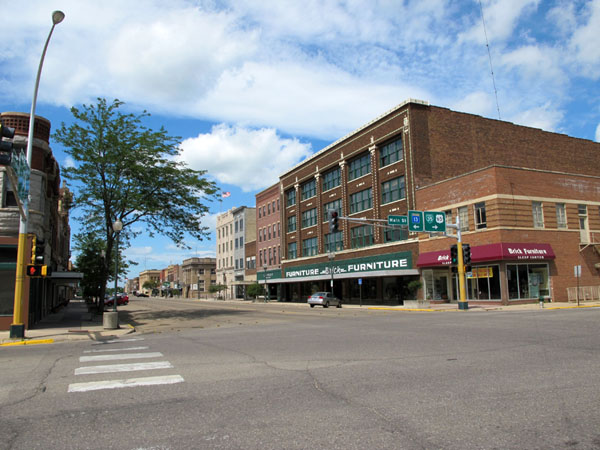
U.S. 65's old route through downtown Albert Lea was along Broadway Avenue and William Street, directly through the heart of Albert Lea's retail district.
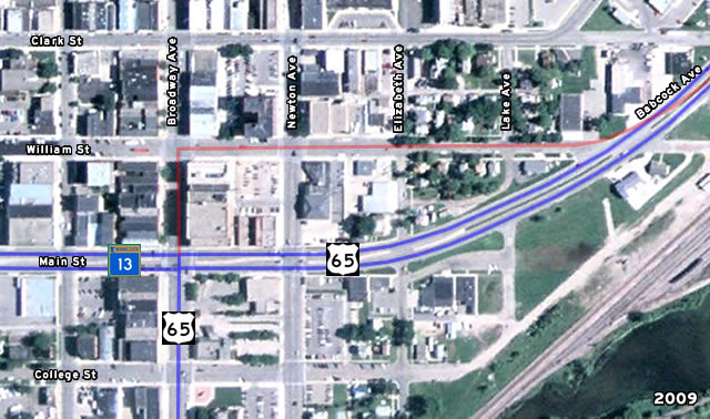
Map of downtown Albert Lea, showing modern highways in blue and historic highways in red (mouse over the image to compare 2009 with 1938).
The route on William Street came into use in 1929 with the opening of Babcock Avenue, built by the Department of Highways as the first permanent trunk highway out of the east side of Albert Lea towards Owatonna and Austin (paving was completed in 1930). Babcock Avenue terminated where it hit the existing city pavement at William Street.
William Street and Broadway were later improved for use as trunk highways in 1934, when old wood block pavement previously built by the city was replaced with concrete. The exception was a block and a half of brick pavement east of Elizabeth Avenue, which was left intact.
The old route remained in use until 1952, when Babcock Avenue was expanded into a divided highway and extended south another block to feed traffic onto Main Street. This moved highway traffic out of the core of the retail district and the small residential enclave east of Elizabeth Avenue (although several homes had to be razed to make room).
Today, Albert Lea's once bustling downtown is a sleepy ghost of its former self. All of the traffic that once passed through downtown on its way to and from Iowa has been moved onto I-35, while local business has been overshadowed by new big-box developments. However, many grandiose commercial buildings remain as a reminder of what once was.
Photos
Taken by the author in July, 2010.
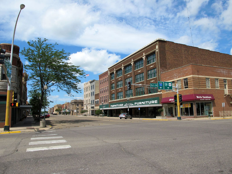
Looking north at the intersection of Broadway and Main Street. Before 1952 ,U.S. 65 continued straight ahead instead of turning right as it does today. (A quick aside: notice the nearly total lack of parked cars - this was a saturday afternoon!!).

The same intersection, looking northwest at the buildings on the west side of Broadway. Also note the I-35 business loop shield accompanying U.S. 65.
Now the junction with State Highway 13, this intersection was the former meeting place of U.S. 65 with U.S. 16, and U.S. 69. The traffic that now uses I-35 would have all been funneled through this intersection.
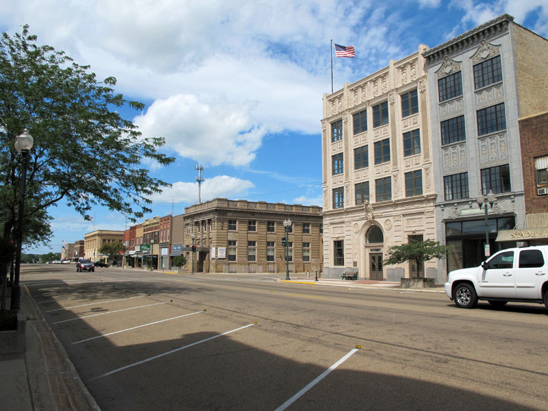
Looking northeast at the intersection of Broadway and William Street. U.S. 65 turned right here.
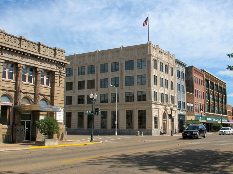
The same intersection, looking southeast.
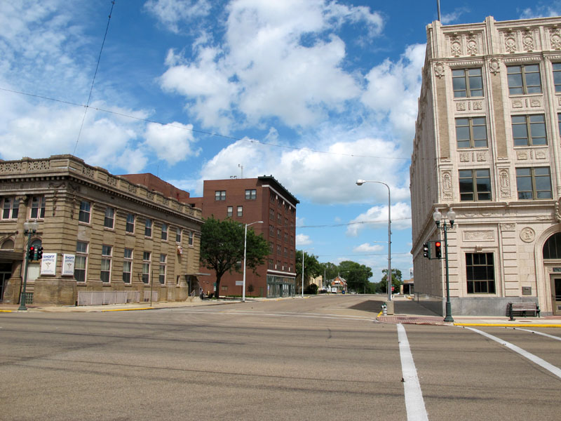
Looking east down William Street from Broadway, once the main road out of town.
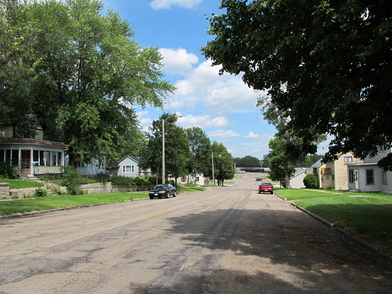
William Street narrows as it passes through a small residential enclave east of Elizabeth Avenue. This stretch was formerly paved with bricks.
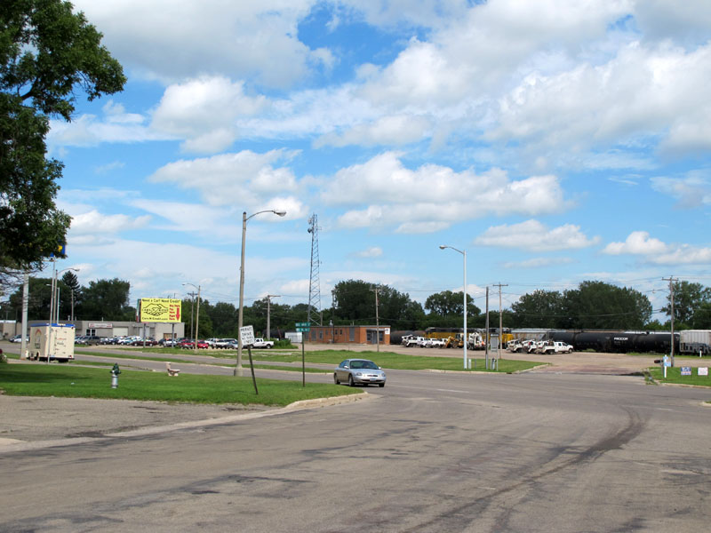
William Street at modern U.S. 65. This was once the southern end of the first permanent highway out of Albert Lea.
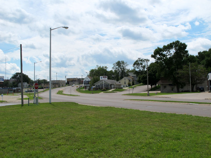
Looking back to the west across U.S. 65 towards William Street. Before 1952, U.S. 65 abruptly curved to the right to ascend the the steep hill into downtown. Today, it curves more gradually to the south before making the ascent.
Sources:
- Construction Project Log Record: Control Section 2403.
- Construction Plan: State Projects 1-57 and 9-45, approved August 21, 1933.
- Construction Plan: State Project 2403-02, approved September 27, 1951.
- Right-of-way map 179-12B.