Home >> Projects >> U.S. 61 >> Modern Highway Photo Galleries
 Modern Highway Photos: Southern Dakota County and Hastings
July, 2006 (Page 1)
The following photos were taken on a warm summer's evening, driving north on U.S. 61 from the junction with Highways 20 and 50 to the Hastings High Bridge at Hastings.

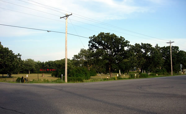
Looking southeast from the old Highway 20 connection to U.S. 61 towards the
modern junction with Highway 50 with the Douglas Town Hall also visible. The
old Highway 20 connection was closed when the junction was reconstructed to
its current configuration in 1984 (see the lost highway article here for more info).

Looking north on the old Highway 20 connection towards U.S. 61.

Signage at the actual junction and eastern terminus of Highway 50 with U.S.
61, looking east after getting back on the main highway.

Looking north on U.S. 61 after turning off of Highway 50.

Mileage to Hastings and St. Paul.

Northbound on U.S. 61 in Marshan Township. This two lane stretch of U.S. 61
still uses the grade originally constructed back in 1930 as part of the first
major modernization project of the highway between Hastings and Red Wing.
The original concrete pavement, laid in 1931, is buried under layers of asphalt
(it wasn't paved over until 1988!)

Irrigating the fields along U.S. 61, Marshan Township.

Looking north at the junction with County Road 62 in Marshan Township. Note
the sign for the Disabled American Veterans Highway. The stretch of U.S. 61
between the junction with Highway 50 and Hastings is the least traveled section
between St. Paul and LaCrosse according to 2005 MnDOT traffic counts. This
is due to the Highway 316 cut-off, which provides the best route between Red
Wing and Hastings.

Looking southeast at County Road 62 towards the Bellwood Cemetery.

A closer view of the cemetery from the southeast corner, looking south down
U.S. 61.

One last view of the cemetery.

At the south city limits of Hastings. Notice the cookie-cutter suburban homes
encroaching on the corn field on the right.
