 Historic U.S. 61: Original Alignment Through Winona
Original Alignment Through Winona
Located In: City of Winona, Winona County
Bypassed: 1929
Length: 3.67 miles
Also Marked As:
 1921-1929
Photo Tour - Southbound - Photos from October, 2007

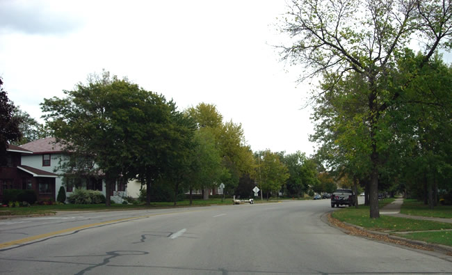
Looking east down Broadway (6th St) from just a bit east of Junction Street.

At Bierce Street.

At Gould Street, entering the St. Mary's University - St. Teresa campus.

Looking east at Broadway and Villa Street. This unassuming intersection was
the original junction of U.S. 61 with U.S. 14 (and State Highway 7) from 1926 to 1929 (both routes approached from the south (right). It was
also both routes' original eastern terminus. The
first concrete road between Winona and Minnesota City, constructed in 1926,
ended at this intersection, giving way to already existing brick
pavement.

At Cummings Street.

At Jackson Street.

Looking east towards an at-grade rail crossing on Broadway.

At High Street.

Looking east at Ewing Street.

The curve on Broadway where Winona's street grid begins to align itself with
the river.

Looking east at Wilson Street. It seems like there's a church on almost every
block on Broadway.

At Huff Street.

At Washington Street.

Between Washington and Johnson Streets.

Looking east at Main Street, State Highway 43.

Looking east towards Liberty Street.

Looking east at Laird Street. Note the bakery on the right. The sign states
"since 1924", meaning this bakery was around when Broadway was still
U.S. 61 (assuming this is its original location).

Between St. Charles Street and High Forest Street.

Looking east on Broadway (6th) at Mankato Avenue. Southbound traffic would have turned right here.

Looking south down Mankato Avenue at Wabasha (7th) Street.

At Mankato and Howard (10th) Streets. Note the rail crossing ahead and the
"Mankato Bar" on the right. Sugar Loaf Hill is visible straight
ahead.

Approaching the intersection with Sarnia Street (Highway 43), the alignment
used by U.S. 61 after 1929.
