 Historic U.S. 61: Westgate Boulevard, Duluth
Westgate Boulevard, Duluth
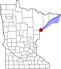
Located: West end of the city of Duluth on the Thompson Hill, north of I-35 between the U.S. 2 and Cody Street exits.
Historic Context: Early 1920's concrete highway, constructed by the city of Duluth.
Length: 1.05 miles (overall), 0.3 miles drivable, 0.75 miles walkable.
Constructed: 1923/1924
Bypassed: 1957, by construction of a new four-lane divided highway along the current right-of-way of I-35.
Also Part Of: 

Status: 0.5 miles abandoned but intact, 0.3 miles maintained as city street (repaved), 0.25 miles realigned to make way for 1957 highway construction and later I-35.
Access: From Cody Street, just east of the exit from I-35 at 64th Avenue.
More U.S. 61 Articles
North >> Lester River Bridge
South >> Old Thompson Hill Overlook
Westgate Boulevard was once part of the original paved highway up the Thompson Hill on the west end of Duluth. It was completed in 1924 by the city of Duluth as a new route for what was then State Route 1. The construction of a new road up the hill had been promoted by the West Duluth Commercial Club, which dedicated the road with a small plaque on June 13, 1924 (the plaque is still there today, sitting in someone's front yard).
The road was improved by a major WPA relief project in 1939 that replaced various drainage structures and guard rails and other unspecified work (the plans were originally for a new grade, but were revised to improvement of the existing road in 1939). It was only repaved once with asphalt in 1950 until finally being replaced in 1957, when a new divided highway was constructed just to the south along what is now the path of I-35 and Cody Street. During construction a section of the old road was destroyed to make way for the new grade, and a short temporary connection had to be constructed to allow traffic to continue up the hill.
Today, only a small piece of Westgate Boulevard remains open to vehicle traffic, accessible from Cody Street at 64th Avenue as a city street. The old road is blocked by boulders at 68th Avenue, but continues west of the barrier for nearly 3/4 of a mile up the Thompson Hill until dead-ending at I-35. The closed section is walkable, and has been maintained by the local residents, who have done their best to keep the road clear, and have even provided a bench as part of a improvised scenic overlook (all of this according to a local resident I spoke with while walking the old road). The layer of asphalt applied in 1950 is crumbling, revealing the original 1924 concrete in many places. The road passes through a conservation area, allowing for views of several rock outcrops,as well as a few rocky streams.
Map
Map Key:
- Green = Open to traffic
- Red = Closed to traffic
- Orange = Road obliterated
Photo Tour - photos taken in November, 2009.

Looking west on Westgate Boulevard at 65th Ave in Duluth. Note the weathered concrete marker on the right (see next photo).
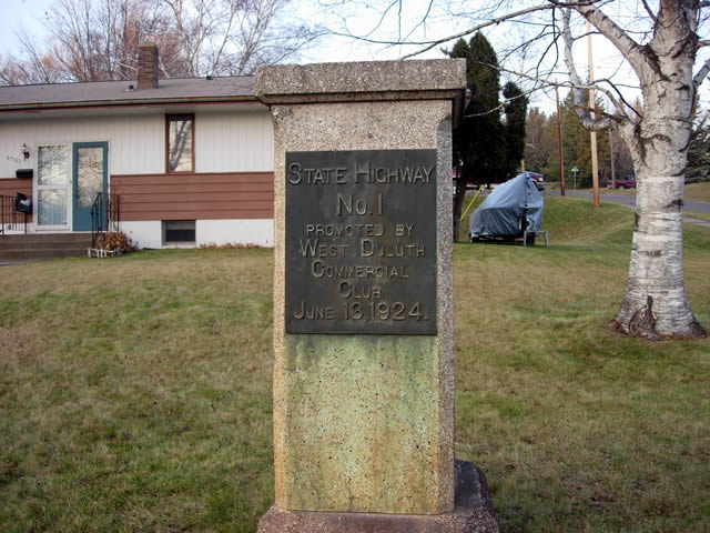
The dedication plaque for Westgate Boulevard, then part of State Route 1. This relic sits nearly forgotten in someone's front yard.
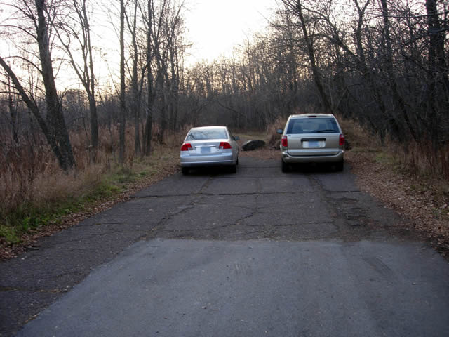
The dead-end just west of 68th Avenue, which now provides a convenient parking lot. Note the boulder blocking the road between the cars.

The old highway ascends a very steep hill just past the boulders. Just ahead at the curve is the beginning of the temporary connection constructed in 1957.

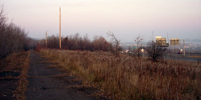
The view of West Duluth and I-35 from the old highway, looking southeast.
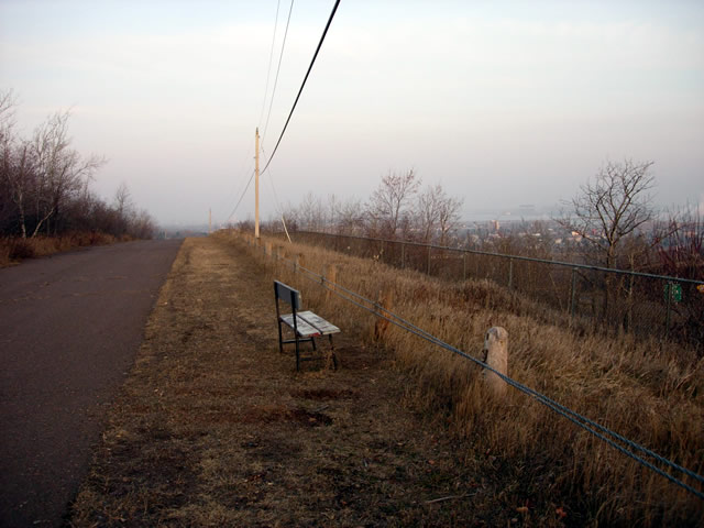
Looking east on top of the hill, with the lone park bench provided by the local residents. This section was built in 1957 as a temporary connection (the pavement here is in much better shape than on the rest of the old highway). Also note the old wood and wire traffic barrier.
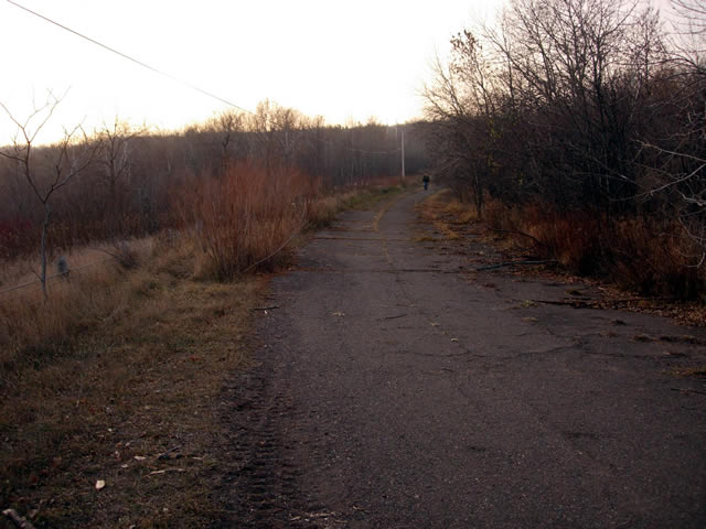
Looking west again where the road again curves away from I-35 and onto the original alignment.

The crumbling asphalt pavement, revealing the original concrete pavement underneath.
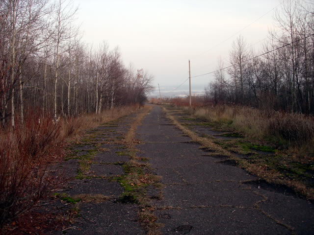
Looking east.
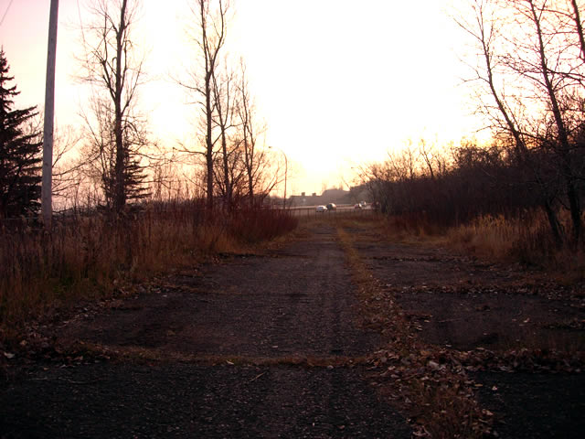
The road eventually dead-ends at I-35 (photo looking west).
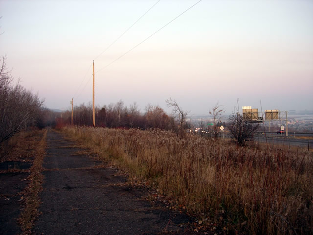
One last image, looking east on old Westgate Boulevard, with I-35 on the right.
