 Historic U.S. 61: Old Alignment at Weaver
Old Alignment at Weaver
Located In: Minneiska Township, Wabasha County
Bypassed: 1969
Length: 0.99 miles
Also Marked As:
 Until 1934
A section of the original paved highway used by U.S. 61 survives at the small unincorporated town of Weaver in southeastern Wabasha County.
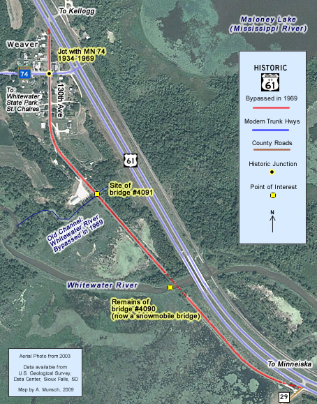
Construction
The road was graded in 1924 and paved with 18 feet of concrete pavement in 1925 as part of the project to construct the first modern highway between Minneiska and Kellogg. This project also included two low-truss bridges over the Whitewater River and its backwater on the south side of town.
Bypass History
The old road remained in use until 1969, when work was completed on a new two lane road between Kellogg and County Road 29, just south of Weaver (the road completed in 1969 eventually became the southbound lane of the modern divided highway - the northbound lane wasn't completed until 1974). The new road bypassed the center of Weaver, and provided a new crossing of the Whitewater River.
As part of the 1969 construction, a new main channel was constructed for the Whitewater River through what was once the backwater, allowing the new highway to require only one crossing instead of the two on the old road (one over the backwater, one over the main channel).
Current Status
Today the old highway, marked as 130th Avenue, serves as a quiet local drive for the residents of Weaver. Most of the original concrete pavement is still intact (a seal coat has been applied at the north end). The section south of the river provides access to a public water landing on the Whitewater River.
Both historic bridges over the Whitewater RIver and its backwater are now gone. The deck and truss of the south bridge (#4090) over the backwater (now the main channel) was demolished sometime after 1969. Its piers were eventually incorporated into a snowmobile bridge, completed at some point after 2002. Bridge #4091 over the old main channel of the Whitewater River was removed, and the channel was filled in.
Historic Junction:  1934-1969
The site of the original junction with Highway 74 (first marked in 1934) is just west of modern U.S. 61 in "downtown" Weaver.
Photo Tour - The following photos were taken in August of 2008.
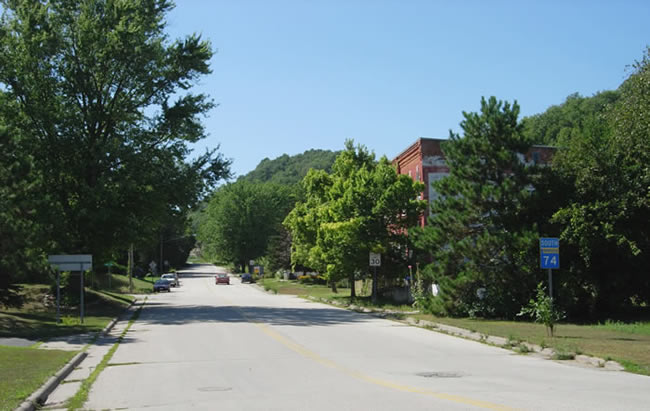
Looking west from modern U.S. 61 down State Highway 74 into "downtown" Weaver. The old junction with U.S. 61 is just ahead (note the green street sign on the far left).
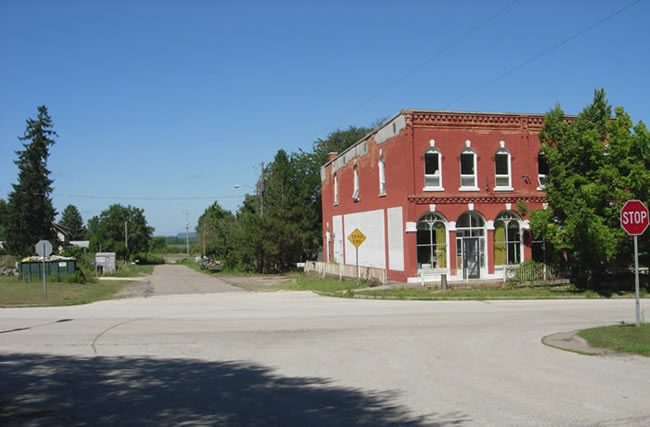
Looking north down old U.S. 61 (130th Street) at the original junction with State Highway 74. On the right is Weaver's only surviving brick commercial building.

Another view of the old junction, with street sign.
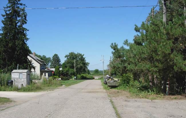
Looking north down old U.S. 61, north of Highway 74. The old road dead-ends just short of the modern highway. The old concrete pavement appears to have been covered with a light seal coat.
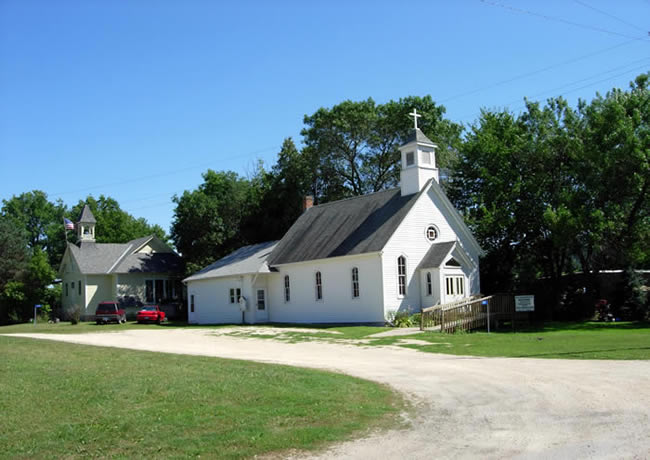
An historic church and school house on old U.S. 61 at Weaver, south of Highway 74.
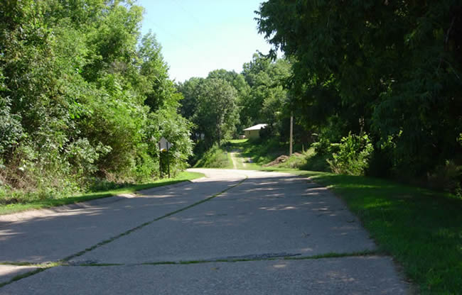
Looking south down old U.S. 61 as it leaves Weaver. The original concrete pavement and curbs are still intact south of town.
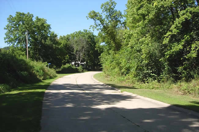
The same curve as in the photo above, looking north towards Weaver.
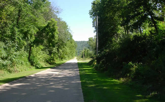
The old concrete stretches off into the distance towards the Whitewater River (looking south).

Looking back to the north towards Weaver (the curve into town is visible).

Looking south at the site of the old main channel of the Whitewater River and bridge 4091. The gap in the road has been filled in (note the lack of pavement and the dirt surface).
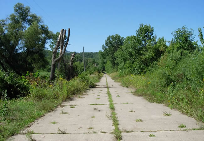
Another view back to the north towards Weaver (photo taken at the north end of the snowmobile bridge over the Whitewater River).
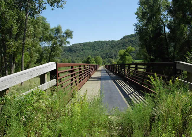
Looking south on the snowmobile bridge
across the Whitewater River.

An alternate view of the bridge, looking north from the public water access. Note how the bridge is constructed using the piers of bridge 4090, constructed in 1924.
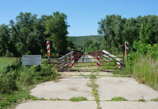
The gate at the south end of the snowmobile bridge.
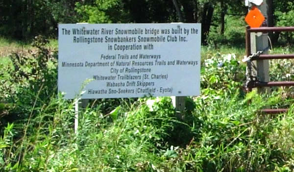
Close-up of the dedication sign for the bridge.
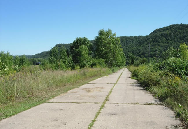
Looking south down the old highway on the south side of the Whitewater River (a vehicle on the modern highway is just visible on the far left).

At the south end of the old pavement at the junction with County Road 29. The old pavement is accessible via the driveway on the right.
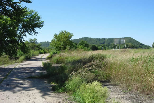
One last shot of the old highway, looking north from near County Road 29. The modern divided highway is visible on the right.
