 Historic U.S. 61: Old Road Between Wabasha and Lake City

Old Road Between Wabasha and Lake City
Located In: Lake City, Lake Township, Pepin Township, City of Wabasha, Wabasha County.
Bypassed: 1930 / 1932 / 1936 (see overview map for details).
Length: 16.60 miles
Also Marked As:
 Until 1934
 1935-Present*
 1934-1935*
 1921-1934*
* on Lyon Avenue in Lake City.
The old road between Lake City and Wabasha is the longest historic alignment of U.S. 61 south of the Twin Cities (in Minnesota). It is also the alignment that deviates the most from the modern highway, mostly following what are now parts of Wabasha County Roads 4 and 10. The old road climbs the steep hills out of the Mississippi River valley and runs along a high ridge instead of along the south shore of Lake Pepin as U.S. 61 does today. The old road also includes city streets in both Wabasha and Lake City (more details below).
Inset 1 - Lake City

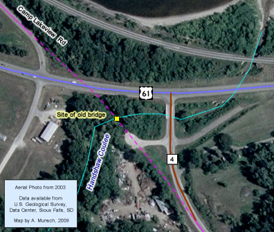
U.S. 61's original route out of the east side of Lake City was via a two-block jog on Lyon Avenue to Oak Street, which led southeast out of town, becoming Camp Lakeview Drive where it made a sharp curve to pass under a railroad bridge. Camp Lakeview Drive continued southeast directly onto what is now County Road 4. Camp Lakeview Road was named for the old national guard camp and parade grounds that were situated on Lake Pepin adjacent to the old highway. The training facility was moved to Camp Ripley near Little Falls in 1931 (see inset 1, above).
Inset 2 - Wabasha
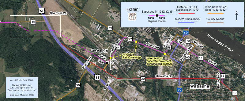
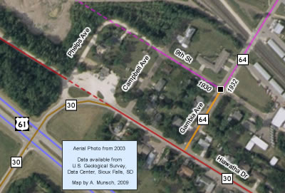
The old road's route on County Road 10 originally fed onto 9th Street on the west side of Wabasha. The old road then followed a convoluted route via 9th Street, Gambia Avenue, Grant Boulevard, Bridge Avenue, 2nd Street, and finally Pierce Avenue through town, finally feeding onto what is now County Road 30 towards Kellogg (see inset 2, above, also note the two at-grade rail crossings).
Construction
Although it had been improved earlier in the 1920's, most of the road between Lake City and Wabasha was still gravel when it was first marked as U.S. 61 in 1926. The exception to this was on some of the streets in Wabasha, including Pierce Avenue, 2nd Street, and Bridge Avenue, which had all been paved with 18 feet of concrete in 1926 as part of the paving of the highway to Kellogg. Projects in 1927 and 1928 paved the rest of the road to Lake City with an oil treatment and replaced a bridge over Brewery Creek just west of Wabasha with a culvert (still in use).
Bypass History
Most of the original alignment was used by U.S. 61 for only about four years. In 1930 the more familiar grade along the southern shore of Lake Pepin through Read's Landing was constructed. The following quote from Commissioner of Highways Charles Babcock appeared in the July, 1930 "Minnesota Highway News" regarding its construction:
"This will be one of the most expensive projects we have undertaken, and we have postponed it as long we could. With the heavy and steadily growing traffic on this road, it became imperative that it be paved and we did not want to pave until we could eliminate the climb over the hill on the old route, and cut the distance to the minimum. On a route with lighter traffic, the road over the hills might have been used for several years more, but traffic on #3 required that we complete the unpaved gaps as is physically possible."
The road constructed in 1930 did not yet reach all the way into Wabasha or Lake City. The remainder of the old road through Wabasha was replaced in 1932 by the opening of Hiawatha Drive (now County Road 30). The old route into Lake City on Oak Street and Lyon Avenue was not bypassed until 1936, when the connection to Lakeshore Drive was constructed.
Current Status
Although generally on the same alignment today, the old route on County Roads 4 and 10 has been modernized and repaved since being bypassed in 1930. Many of the sharp curves on the road have been softened, and the connections to modern U.S. 61 at each end have been heavily realigned.
The city streets in both Wabasha and Lake City have also since been reconstructed or repaved. Much of the old route in Wabasha is now a set of short county roads (58, 59, and 64).
Ironically, a recent corridor management study proposed the construction of a four lane highway along the original alignment as a possible solution for improving the highway between Wabasha and Lake CIty in order to preserve the road along Lake Pepin as a scenic byway.
Oak Street originally continued directly across the site of the modern highway (see inset 1B, right). When the new road along Lake Pepin was completed in 1930, it ended at a temporary connection that fed directly on Oak. The final connection via Lakeshore Drive was completed in 1936. Getting across modern 61 is a bit more complicated today, but is still doable. You are now required to make a quick jog on 61 to reach the new connection to the southeast portion of Oak. |
Inset 1B - Oak Street Crossing |
County Road 4's junction with U.S. Highway 61 east of Lake City was reconstructed around 1984 or 85 to correct what was once a dangerous and shallow intersection. This also disconnected County 4 and Camp Lakeview Road, and bypassed the old bridge over Handshaw Coulee, (#2841 - constructed in 1918), now gone. |
Inset 1C - Camp Lakeview Road and County Road 4. |
Inset 2A - Old County Road 10 Connection
|
Inset 2B - 9th Street
|
Photo Tour - Southbound - Photos were taken in August, 2009.
Lake City

Looking southeast at the intersection of Lakeshore Drive and Lyon Avenue in downtown Lake City. This is now the south junction with U.S. 63. Before 1936, U.S. 61 made a right-turn here onto Lyon Avenue. This was also the historic junction with U.S. 63's predecessor's, Constitutional Route 59 (1926-1934), and U.S. 59 (1934-1935).
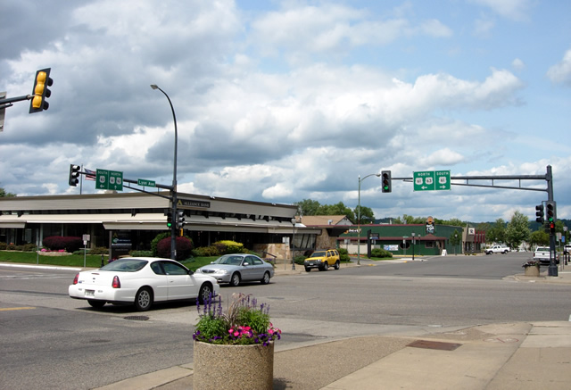
An alternative view of the junction, from the southeast corner, looking northwest.
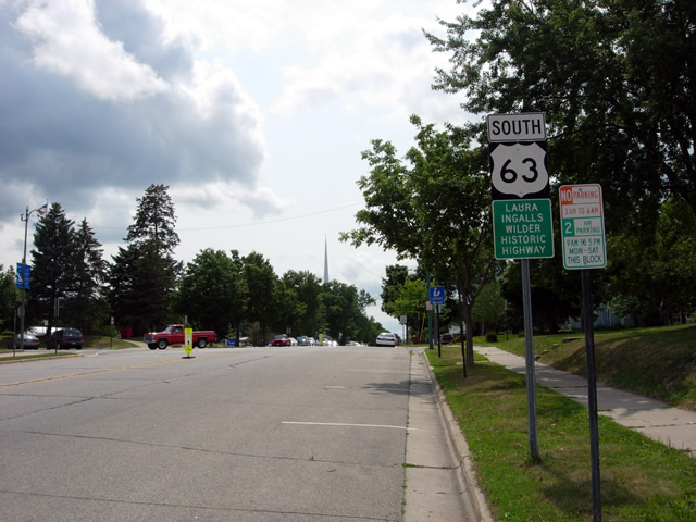
Looking south on Lyon Avenue, with a modern U.S. 63 shield. Also note the sign for the Laura Ingalls Wilder Historic Highway.

Looking back to the north towards the junction.

Another shot to the north from Lyon Avenue, this time from the other side of the street, with direction signage.
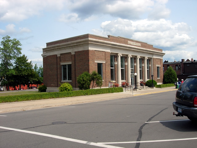
The Lake City Post Office, just to the east of Lyon Avenue on High Street.
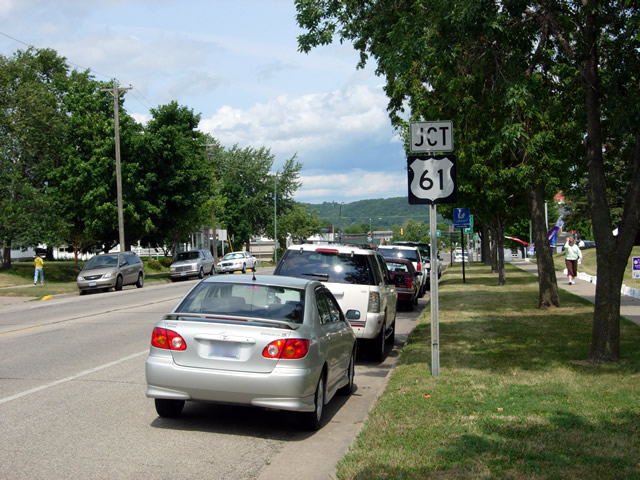
Looking north down Lyon Avenue, with a U.S. 61 junction marker.
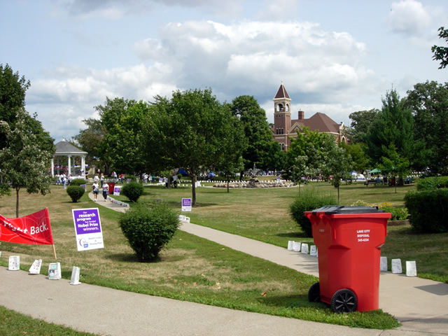
Lake City's central park, looking east from Lyon Avenue.

At the intersection of Lyon Avenue and Oak Street, looking east.
This was the site of the south junction with U.S. 63 (1935-1936), U.S. 59 (1934-1935), and Constitutional Route 59 (1926-1934). U.S. 61 southbound made a left turn here onto Oak.

Looking southeast down Oak Street. 61's old route out of town is now a normal residential street.
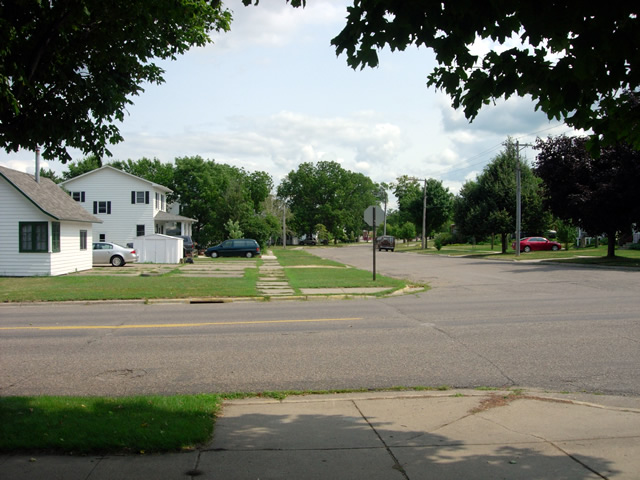
Looking southeast on Oak Street at Lakewood Avenue.
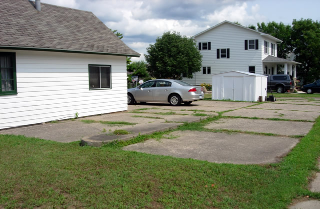
Possible remains of an old service station at Lakewood Avenue and Oak Street.
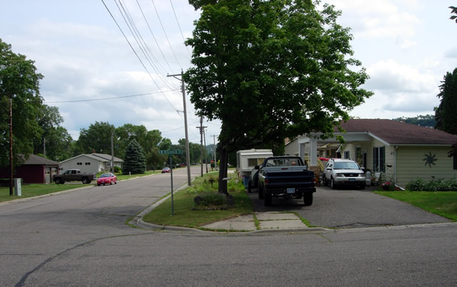
Looking southeast at Wisconsin Avenue. On the right is yet another old service station, since converted into a private residence.
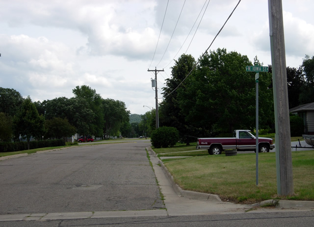
Looking southeast at Iowa Street. Modern U.S. 61 is just ahead, hidden from view by a slight rise in the street.
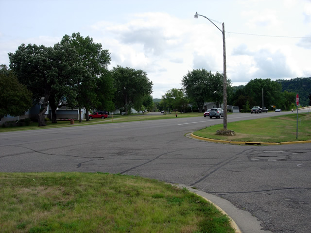
Looking southeast across modern U.S. 61 on Oak Street. The old road originally continued straight ahead.
From 1930 to 1936 Oak Street curved to the right here onto the modern alignment via a temporary connection, now gone.
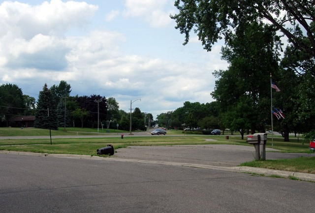
Looking back to the northwest on the other side of U.S. 61 on Oak Street.
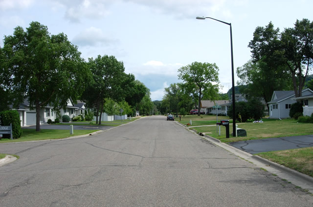
Oak Street continues to the southeast on the other side of U.S. 61.
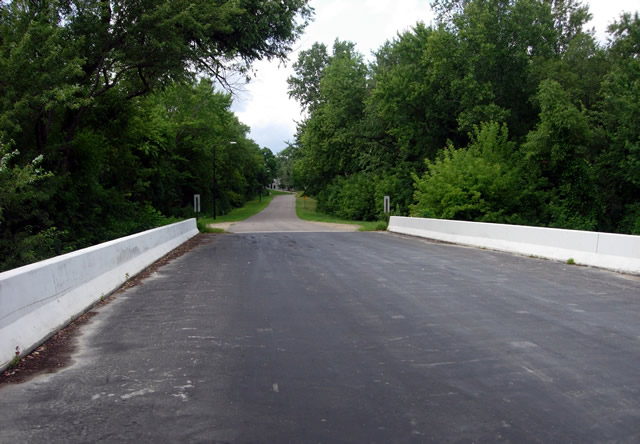
Looking back to the northwest on the bridge over Miller Creek. The construction log has no record of the original bridge over the creek, which has long since been replaced.

The railroad bridge over Miller Creek, as seen from Oak Street.
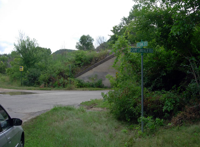
U.S. 61 followed Oak Street until the intersection with Camp Lakeview Road, where it made a hard right turn towards a rail underpass.
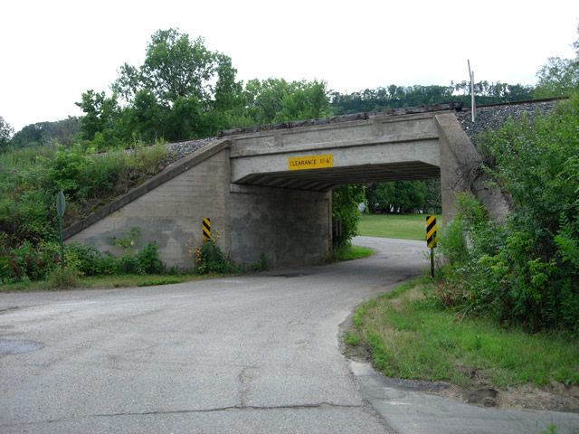
The old railroad underpass on Camp Lakeview Road on the south side of Lake CIty.
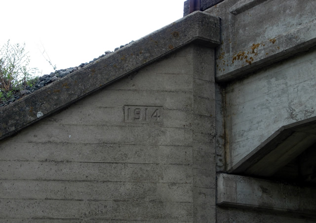
The bridge is the original, constructed in 1914.
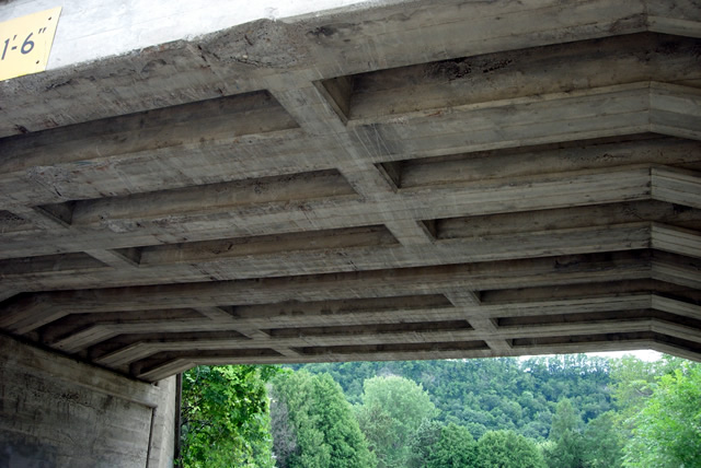
The railroad bridge was constructed with cells to save materials. There aren't many of this type left in Minnesota (according to Wood+Concrete+Stone+Steel: Minnesota's Historic Bridges", Denis P. Gardner, University of Minnesota Press, 2008).
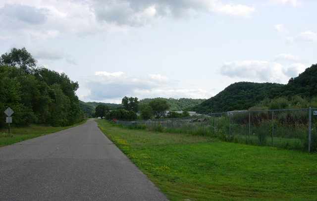
Looking southeast down Camp Lakeview Road.

These old brick buildings along the tracks were most likely part of the historic Camp Lakeview National Guard training camp, the predecessor of Camp Ripley, which replaced it in 1931 (source: http://www.minnesotanationalguard.org/campripley/SpecFeatures/HistCR.htm).

Camp Lakeview Road eventually curves to a junction with modern U.S. 61. The road originally continued straight ahead, connecting with County Road 4.
County Roads 4 and 10

On modern U.S. 61, connecting between Camp Lakeview Road and County Road 4 (looking east).
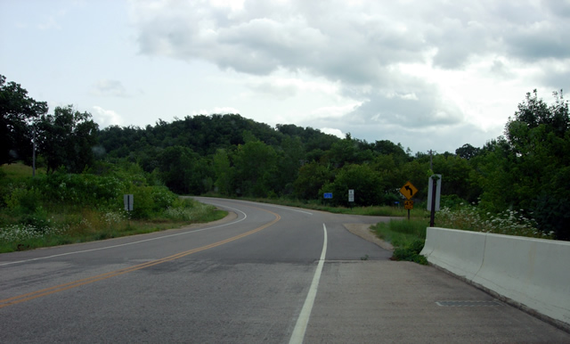
Looking south on County Road 4 from the bridge over Handshaw Coulee, just east of modern U.S. 61. Note the alignment of the road ahead, which once continued straight ahead to the right instead of curving towards the bridge.
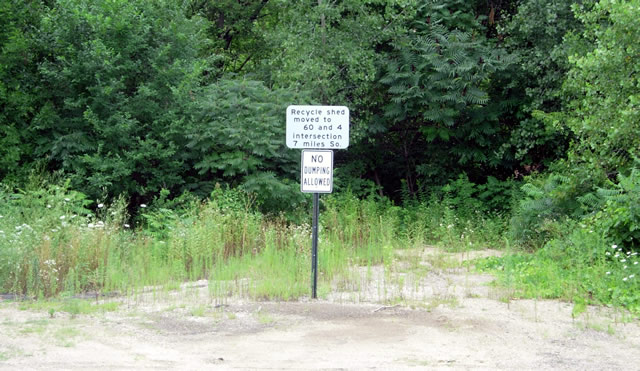
Looking northeast on the old approach to the original bridge over Handshaw Coulee, which was apparently once the site of a recycle shed.
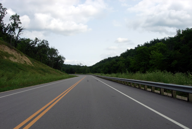
Looking southeast down County Road 4 as it ascends out of the Mississippi River Valley. This stretch of the old highway was reconstructed in 2008.

County Road 4 southbound.
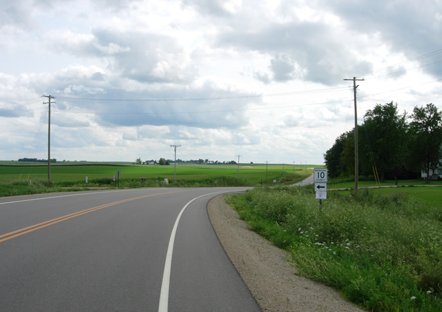
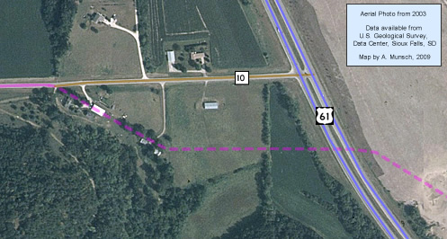
On County Road 4 at the junction with County Road 10. This intersection is unrecognizable from before 2008. Previously, you could simply curve slightly to the left to make the connection to County Road 10, just as traffic on U.S. 61 would have been able to do before 1930.

Looking east down County Road 10 from County Road 4.
Following: Views along County Road 10.
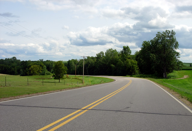
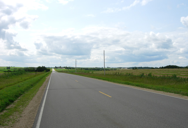

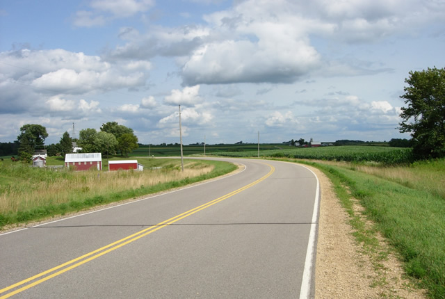

Beginning the descent back into the Mississippi River Valley.


Looking east towards Brewery Creek, crossed via a culvert constructed in 1928.
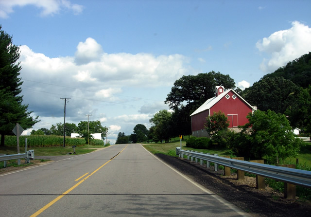
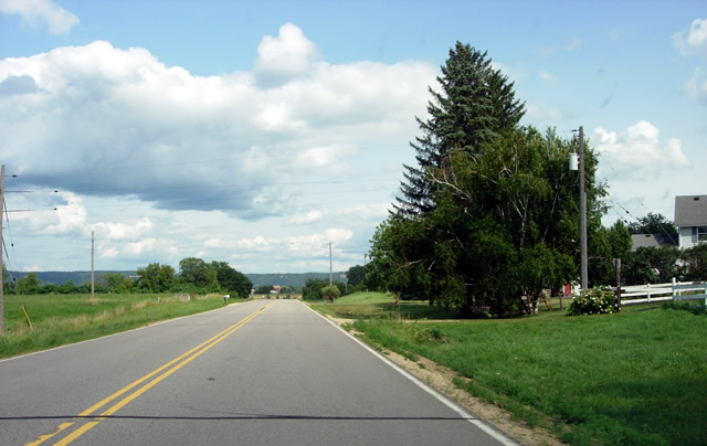
Approaching modern U.S. 61 on County Road 10.
The road once curved sharply to the right just ahead to make the connection into Wabasha. The connection has been totally wiped out.
Wabasha
To get to the next section of the old road, a short jog via modern U.S. 61, County Road 30, and Gambia Avenue is required.
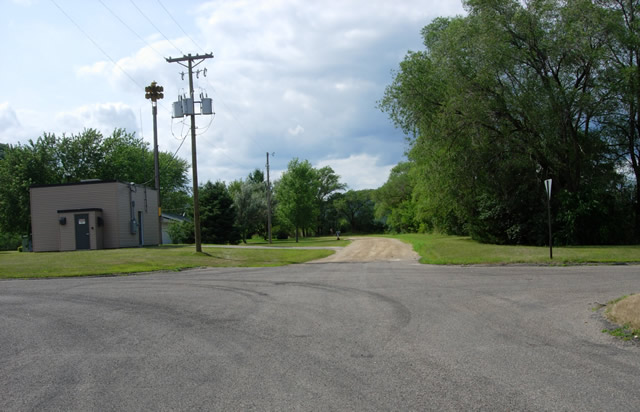
Looking west down 9th Street in Wabasha at Campbell Avenue. This was the old entrance to town on U.S. 61 before 1930.
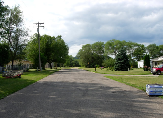
Another view to the west down 9th Street from Gambia Avenue, now a simple residential street. There's not much to indicate that this was once the main road out of town!
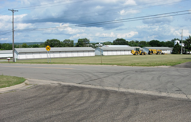
Looking east from 9th Street at the intersection with Gambia Avenue. U.S. 61 would have turned left here.

Looking north on Gambia Avenue at the first of two at-grade rail crossings on the old highway.
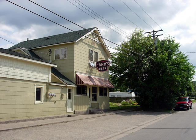
A classic Hamm's Beer sign on Gambia at Grant Boulevard.
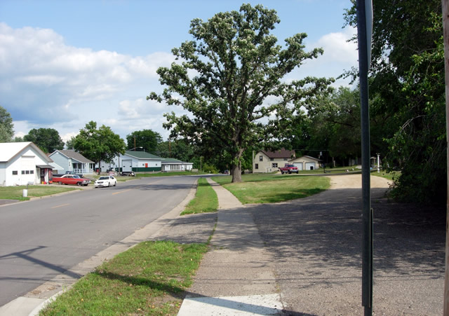
Looking east down Grant Boulevard from Gambia Street. U.S. 61 turned right onto Grant from Gambia into Wabasha proper.
Note the curved gravel driveway on the right.
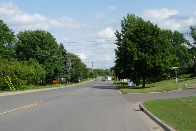
A view east down Grant Boulevard towards central Wabasha.

The site of the second at-grade rail crossing. The tracks have been replaced with a bike trail.
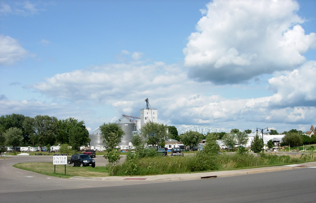
Looking north from Grant Blvd towards Izaac Walton Park, with grain elevators and the truss of the Mississippi River bridge in the background.
The picturesque park surrounds a lagoon that flows into Wabasha from the Mississippi River.
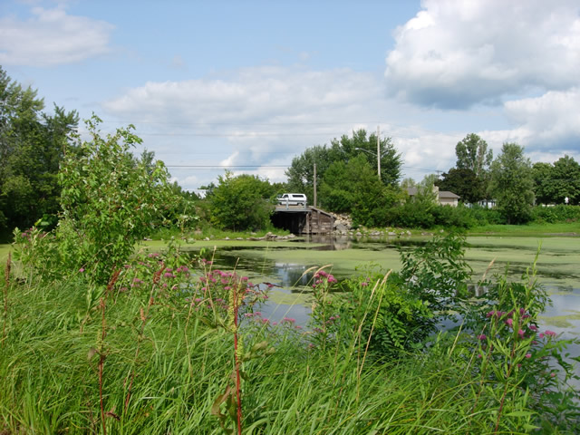
The wooden bridge used by Grant Boulevard to cross the lagoon that passes through Wabasha. I am unsure if the bridge is original.

Looking east on Grant Boulevard at Bridge Avenue. U.S. 61 would have made a left turn here. Also note the State HIghway 60 junction marker ahead.

Looking north down Bridge Avenue from Grant Boulevard. This was the beginning of the original concrete highway constructed in 1926 between
Wabasha and Kellogg. Also note the County Road 58 marker on the right next to my silver Civic.
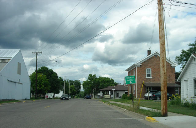
Another view down Bridge Avenue, just short of 2nd Street.

Looking north on Bridge Avenue at 2nd Street. Note the old service station, converted into a coffee shop. U.S. 61 turned right here.
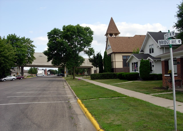
Looking east down 2nd Street from Bridge Avenue. Note the Highway 60 bridge to Wisconsin overhead.
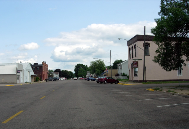
Looking east on 2nd Street at Alleghany Avenue.
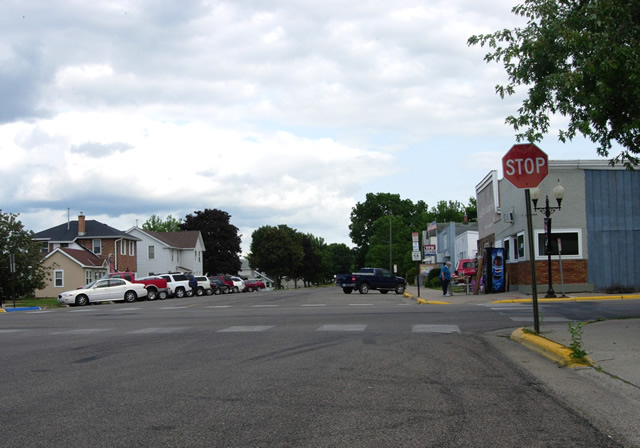
Looking east on 2nd Street at Pembroke Avenue. Note the County Road 58 sign ahead.

Looking north down Pembroke from 2nd Street towards Wabasha's historic downtown.
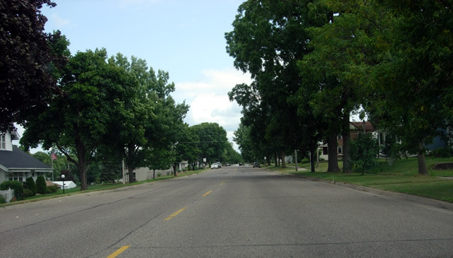
Looking east on 2nd Street, now in a residential neighborhood.
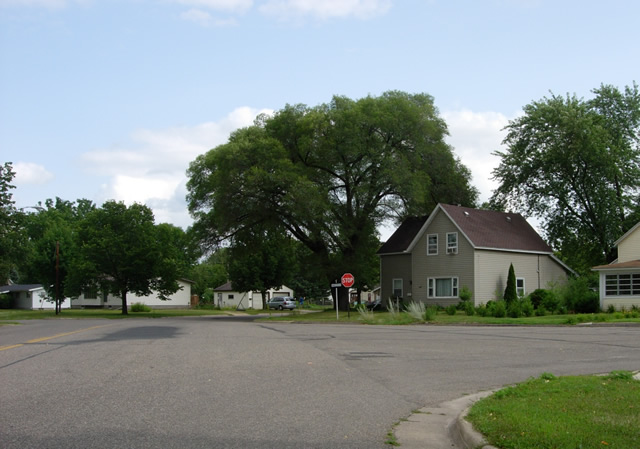
Looking southeast where 2nd Street curves onto Pierce Avenue (Market Street is on the right).
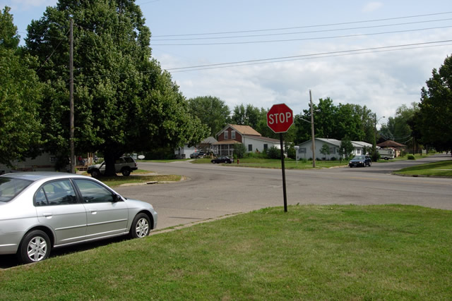
The south end of the old alignment at Hiawatha Drive (County Road 30), looking south. The concrete highway constructed in 1926 curved to the left here towards Kellogg. The curve was eliminated in 1931.
Hiawatha Drive served as U.S. 61's second route through Wabasha until it too was bypassed in 1970.
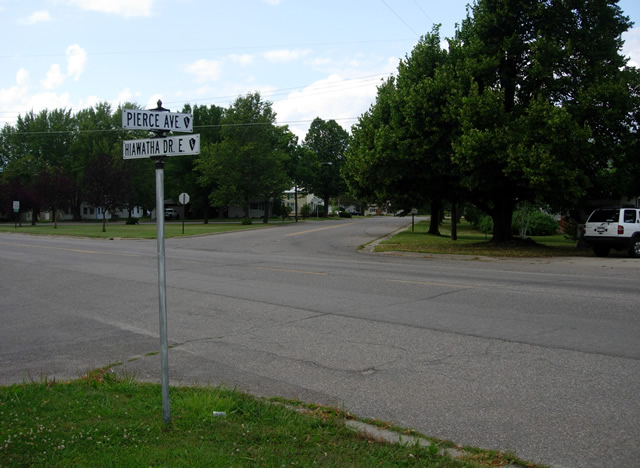
Another view of the intersection of Pierce Avenue and Hiawatha Drive, looking north. U.S. 61 northbound originally curved right from Hiawatha onto Pierce Avenue.


