
 Historic U.S. 61: Old Interstate Bridge Approach
Old Interstate Bridge Approach
Located In: La Crescent Township, Houston County
Bypassed: 1941
Length: 0.76 miles
Also Marked As:
 1933-1941
 1926-1941

 Until 1934
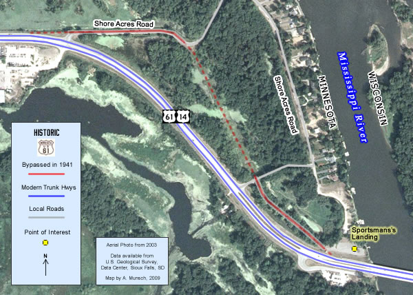
In 1941, the highway carrying U.S. 61, U.S. 14, and U.S. 16 into Minnesota between La Crosse and La Crescent was upgraded to four lanes to improve what was then one of the most important gateways to the state. The construction bypassed a section of the original concrete highway just west of the state line.
The road left behind is now split into two separate pieces, both open to the public.
Construction
The road between the state line and La Crescent had originally been paved with 18 feet of concrete in 1925, only 16 years before being bypassed.
Bypass History
This section was bypassed in 1941 in order to soften the curve towards La Crescent.
Current Status
At some point after being bypassed, the center section of the old alignment's grade was removed and excavated to turn it into a wetland. The northern section was rebuilt as a connection to Shore Acres Road. The southern section became a driveway to the "Sportsmen's Landing", a public access point on the Mississippi River. Update, 2/28/2021- Jayson L. informs me that the original concrete on the road to the Sportsmen's Landing has been paved over as of 2019.
Photo Tour - Photos taken in October, 2007
The photo tour starts off driving southbound on U.S. 61/U.S. 14/MN 16, east of La Crescent in the Mississippi River bottoms.
Shore Acres Road
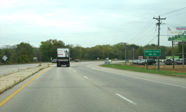
The first section of the old road is accessible from modern U.S. 61 via the turn-off onto Shore Acres Road.
(photo looking east.)

Looking back to the west after turning off onto Shore Acres Road, showing how the old road aligns with modern
highway.
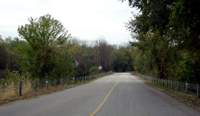
Continuing east on Shore Acres Road. It appears the old grade is still in use, but the original concrete pavement
is either paved over or gone.

A bit further to the east at the point where the road starts to curve.
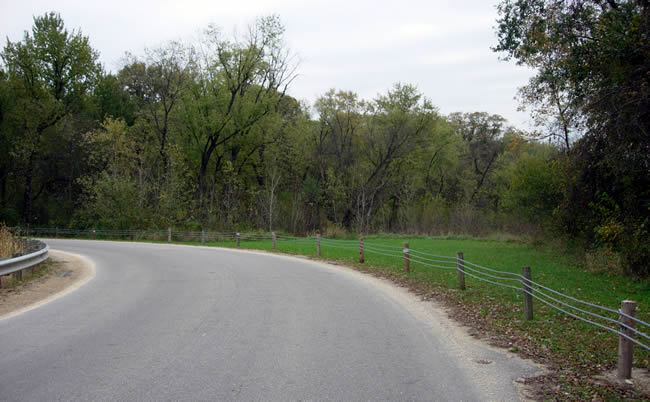
Shore Acres Road now curves to the left at the point where the old highway curved to the right into the clearing on the right.
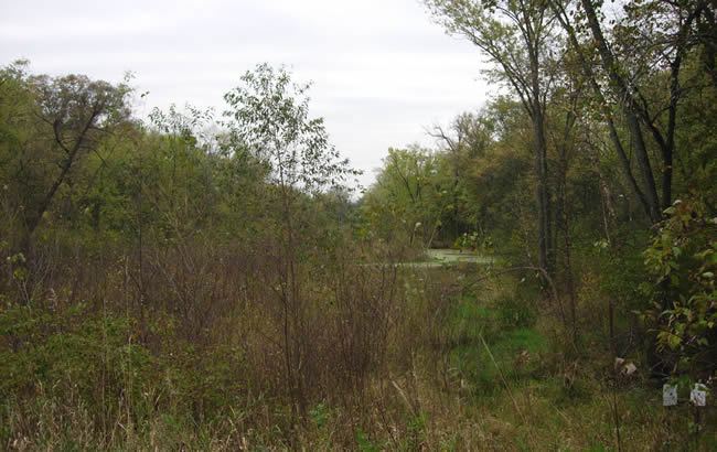
Looking southeast from the clearing across the wetland which now occupies U.S. 61's original
grade.
Sportsman's Landing

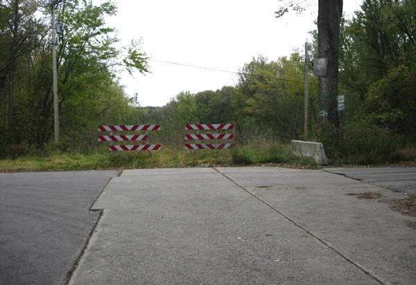
Back on modern U.S. 61, looking southbound. The sign on the right points the way to the Sportsman's Landing and the second surviving section of the old road.
Looking back to the northwest on the other side of the wetland at the
point where the old grade again comes into existence, this time with the original
concrete exposed and intact (the pavement has since been paved over).
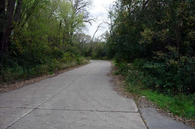
Looking southeast towards the landing. The forest is starting to encroach
a bit on the old highway. A paved recreation trail has since been added, and the original concrete paved over.

Another view to the southeast.
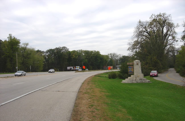
Looking northwest from the Sportsmen's Landing, showing the old highway (right)
next to the modern four lane road. Also note the state line marker, moved
from its original position on the other side of the highway due to the construction
of the new interstate bridges in 1992-93.