 Historic U.S. 61: Gitchi Gami Trail at Silver Creek Cliff
Gitchi Gami Trail at Silver Creek Cliff
Recommended!
Located: About 4 miles north of Two Harbors on State Hwy 61, Silver Creek Township, Lake County.
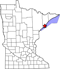
Historic Context: Part of the original North Shore Scenic Highway constructed in the 1920's.
Length: 0.35 miles of historic grade, 0.55 miles of multi-use trail.
Constructed: 1924
Bypassed: 1994, by construction of the Silver Creek Cliff Tunnel (retired as U.S. 61 in 1990).
Also Part Of:

Status: Repurposed into a multi-use trail.
Access: Main public access is via a parking lot on the northbound side of Highway 61 just north of the tunnel. The south end of the trail is accessible from Silver Cliff Road.
More U.S. 61 Articles
North >> Old Road at the Encampment River
South >> Stewart River Bridge

The section of the Gitchi Gami Trail at Silver Creek Cliff follows the historic grade of the original north shore scenic highway. It provides visitors the chance to safely enjoy one of the most spectacular views of Lake Superior along the north shore, previously visible only from the inside of a speeding car.
The road along the cliff was constructed between 1923 and 1924 as part of the original north shore scenic highway, requiring the blasting of large chunks of rock from the cliff face. It remained in use for 70 years. During that time, motorists were separated from the cliff face by only a rudimentary stone barrier. As time passed, natural forces started to take their toll on the road's rock foundations, making them unstable. Although the old road provided a spectacular view of Lake Superior, it was steep, narrow, and curvy, and difficult to maintain. To solve these problems, MnDOT took the audacious step of cutting an over 1000 foot tunnel directly through the cliff, allowing the old road to remain in use throughout the project. The tunnel opened in 1994.
The old road grade was temporarily abandoned until being redeveloped into part of the Gitchi Gami Trail, preserving the historic view of Lake Superior for future generations. A paved multi-use trail was constructed, along with a convenient parking lot at the north end. A replica of the long lost gateway over the old road was installed, as well as replica wooden guardrail posts. Interpretive markers were added at the high point of the road detailing the geology of the region, as well as the history of the road and its replacement. To my knowledge, this is the only historic alignment of U.S. 61 to be actively preserved and presented to the public.
Map
Photos - taken in April, 2010.
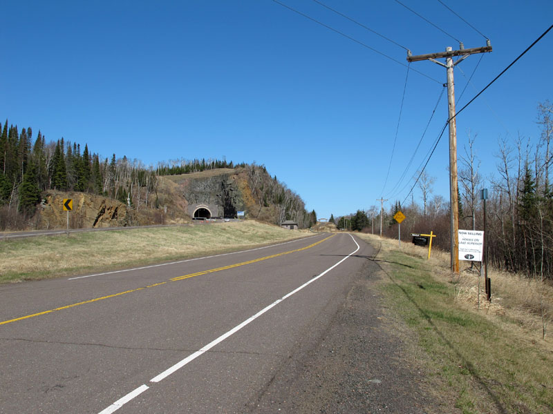
Looking north towards Silver Creek Cliff from Silver Creek Road (which is NOT the old highway). The current tunnel is on the left, while the gateway to the old road is visible in the distance ahead.
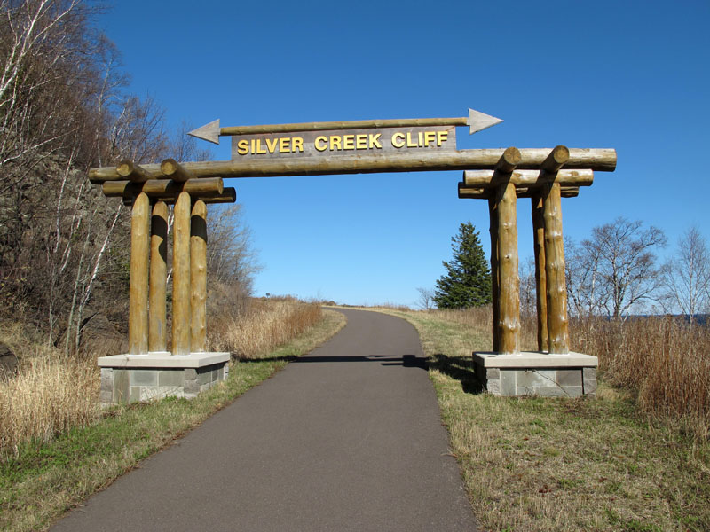
Reproduction of the gateway that once welcomed motorists to the highway along the cliff face.
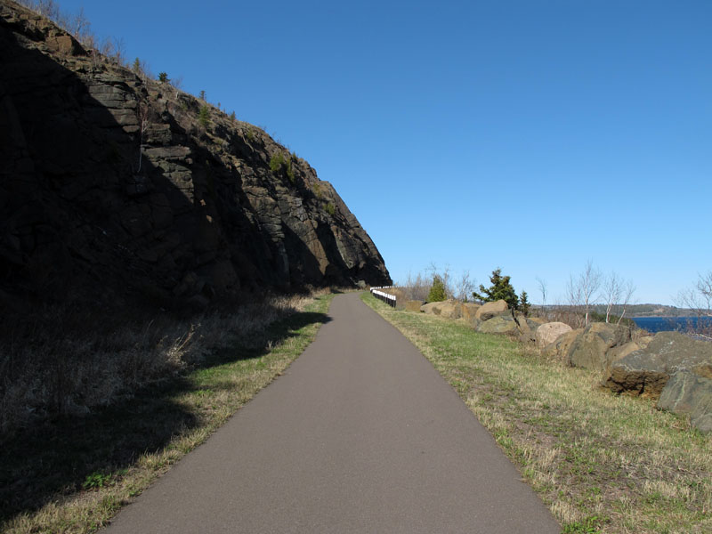
Ascending the old road grade on the Gitchi Gami Trail.

Looking back to the south down the hill, with replica guard-rail posts.
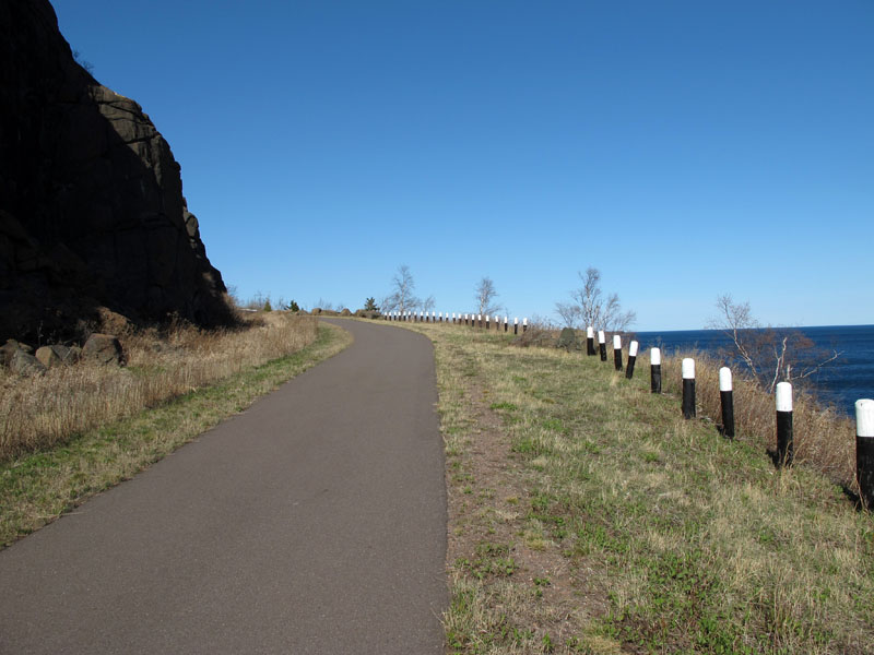
Continuing back to the north up the hill.
Interpretive markers at the highest point on the old road grade.

View of Lake Superior from the old highway.
Sources
- MnDOT Construction Project Logs: Control Section 3805
- Interpretive markers at Silver Creek Cliff, observed April, 2010.
- "Silver Creek Cliff Highway Tunnel", CNA Consulting Engineers Flyer, http://www.cnaengineers.com/Flyers%20-%20Silver%20Creek%20Cliff.pdf, accessed June 8, 2011.

