 Historic U.S. 61: Old Alignment at Phalen-Keller Regional Park
Old Alignment at Phalen-Keller Regional Park
Located In: Maplewood, Ramsey County
Bypassed: 1952
Length: 1.05 miles
Also Marked As:
 1921-1934
The original alignment of U.S. 61 through Phalen-Keller Regional Park in Maplewood was surprisingly different from the relatively straight divided highway in use today. In fact, the old road ran directly through the modern park and Keller Golf Course (see map, below).
Sadly, very little sign of the road survives today. Only a tiny segment of the service drive near Roselawn Avenue and what is now part of the park's driveway remain.

Construction
Inset 1 - Arcade Street / Service Drive

The original alignment of U.S. 61 through what is now Maplewood was constructed in 1921 as part of a project to pave the road between St. Paul and White Bear Lake. The original pavement was 24 feet of asphalt over a concrete base. The road remained unaltered until a 1937 project widened the grade to make room for gravel shoulders.
Bypass History
In 1951, work began on the four-lane divided highway between St. Paul and White Bear Lake, still in use by U.S. 61 today. Initial paving on the divided highway through Phalen-Keller Park was completed in 1952. Part of Keller Lake had to be filled-in to correct several sharp curves on the old road.
Three segments initially survived the 1952 construction. (see main map, above). The remainder of the old road was obliterated. The segments included:
- A tiny section on Arcade Street between Roselawn and Bellwood Avenues, incorporated into a new service drive (see inset 1, right).
- A part of the curve in the middle of Phalen / Keller Regional Park, initially abandoned.
- A section on the northbound side of the highway at the entrance to Keller Golf Course, just south of County Road B, converted into a service drive.
Current Status
The segment on the service drive, aka Arcade Street, is still in service. The section in the park has been extensively reconstructed and widened to serve as a combination driveway and parking-lot. North of the driveway, the grade is again partially visible as it passes through the golf course along the path of the utility poles. It appears that a paved path and a service drive may have been constructed on top of the old grade.
The former service drive at County Road B was eventually abandoned and removed, presumably after the old golf course entrance was closed in 1968 to improve safety on the highway.
Photo Tour - Photos from October, 2008 and August, 2009.
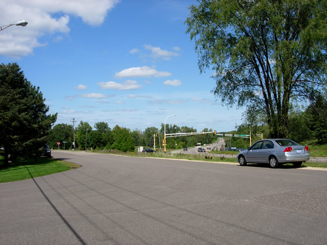
Looking northeast from the intersection of Bellwood Avenue and Arcade Street. The surviving section starts about 50 feet in front of my Civic at the point where the pavement turns color. Also note modern U.S. 61 in the background.
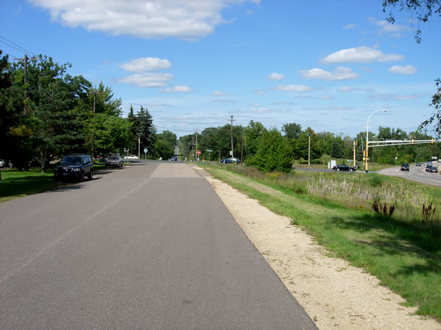
Looking north up Arcade Street. The section of different colored pavement is most likely the surviving section of the old road.

A closer look at the shoulders on the old highway section. The old highway made a very sharp curve to the right just ahead at Roselawn Avenue, crossing the site of modern U.S. 61 into Phalen-Keller Park.
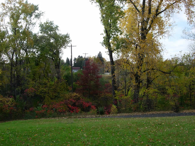
Looking west from Phalen-Keller Park across Phalen Creek towards modern Highway 61. I am standing directly on top of where the highway once ran. The utility poles mark its alignment. Just ahead is the site of the old bridge over the creek, No. 106, a concrete arch constructed in 1912.

Looking northwest at Phalen Creek towards the modern U.S. 61 bridge at the site of the old crossing. There were no visible signs that a bridge was once here.
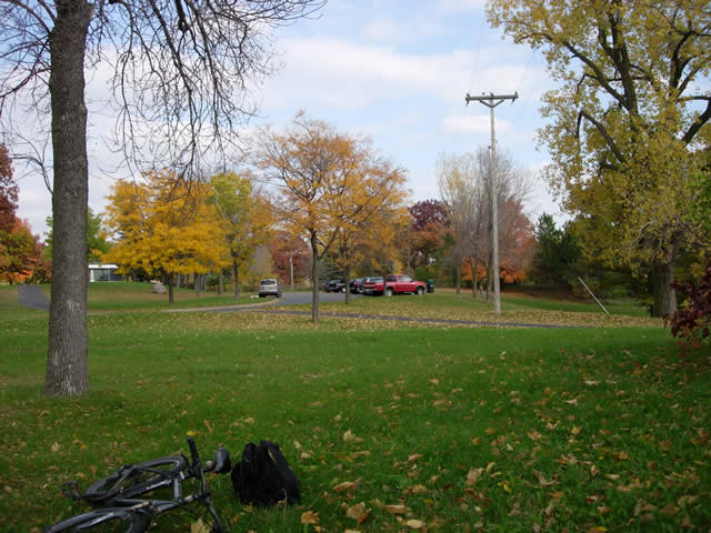
Looking northeast towards the park's current driveway and parking lot. Again, the utility poles mark the alignment of the old highway.

Looking northeast on the park driveway, constructed on top of the highway's old grade. Also note
the chain-link fence on the right, which replaced a stone wall.
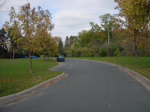
On the driveway again, nearing where it veers off of the path of old U.S. 61.
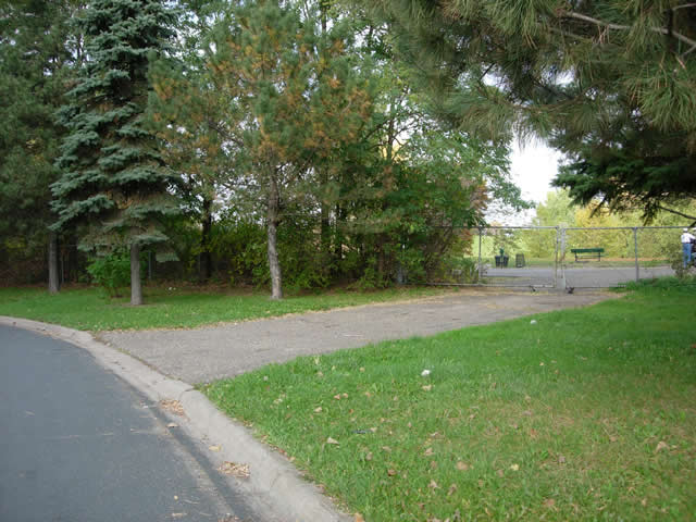
A gate now blocks access to the path of the old highway as it enters Keller Golf Course.
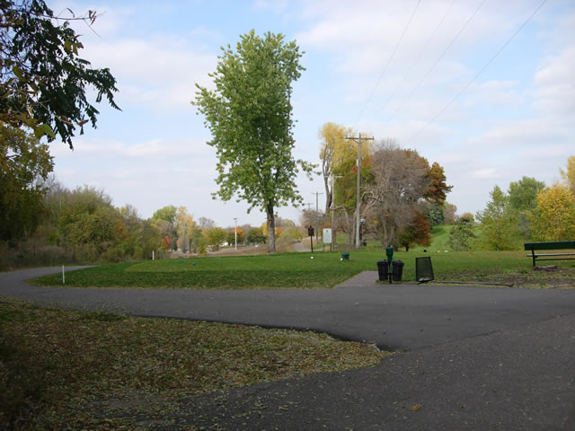
Looking northwest through Keller Golf Course along the former path of U.S. 61. Note the alignment of the utility poles, and the walking path in the distance.
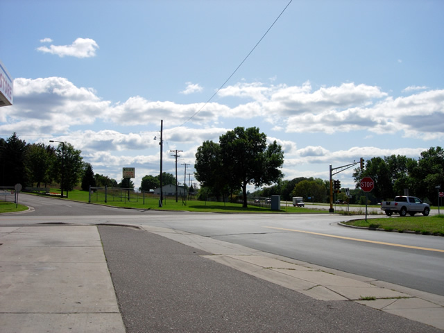
Looking south from County Road B at the entrance to Keller Golf Course. The utility poles mark where the service drive once ran.
