
 Historic U.S. 61: Old Highway 61 - Wyoming to the St. Louis County Line
Photo Tour, Part 4 - Moose Lake to Carlton County Road 5 (Otter Creek)
Old Highway 61 - Moose Lake to Otter Creek
Located In: Carlton County.
Bypassed: 1970
Length: 17.6 miles.
Type: Modernized highway.
Status: Mostly intact, modified at the junctions of Co Rd 61 with Hwys 73 and 27 in Moose Lake.
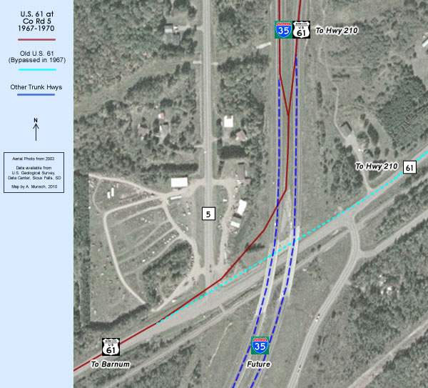
View Map Key Old Highway 61 is shown in light blue, I-35 in dark blue, and all temporary connections in orange.
This section of Old 61 starts with the old route through Moose Lake, now part of the Hwy 73/27 business loop, built to feed traffic between I-35 and downtown Moose Lake. It continues north of Moose Lake as County Road 61 through Barnum, Mahtowa, and Atkinson.
 South Moose Lake Business Loop
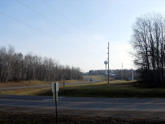
Looking east down Highway 73 from County Road 61 towards I-35. U.S. 61 temporarily used this connection from 1967 until 1970, now the south half of the Moose Lake business loop (see map below).

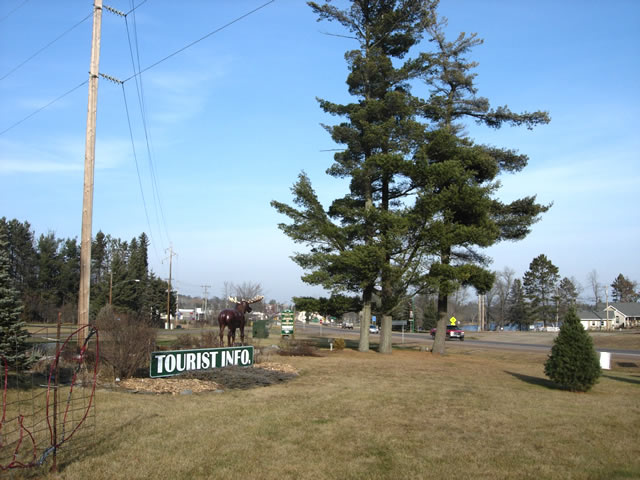
Looking north into Moose Lake from the Hwy 73 / Co Rd 61 junction. The pre-interstate highway ran directly through where the "Tourist Info" sign is now.
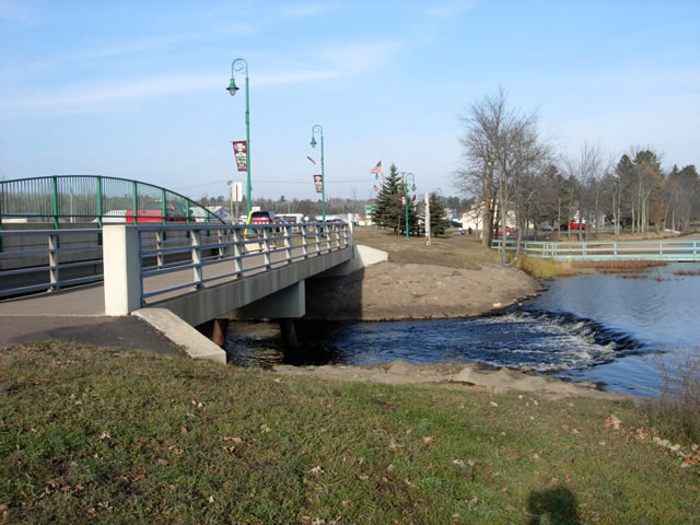
Crossing the Moose Horn River (the bridges are not original).
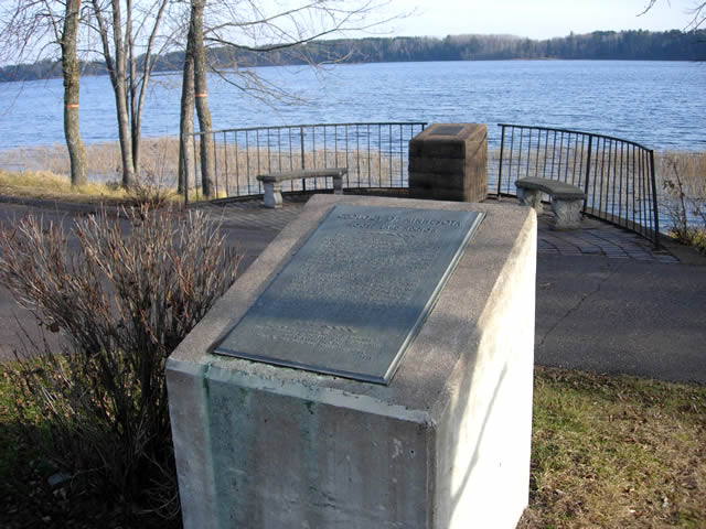
A geologic marker from the 1950's, part of an old wayside rest just north of the Moosehorn River on the east side of old 61 in Moose Lake.
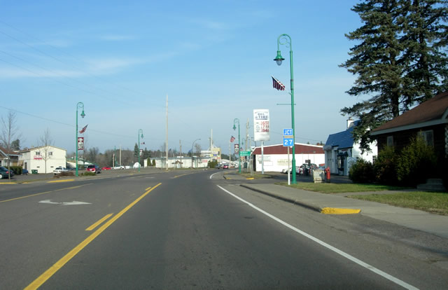
On Highway 73 in Moose Lake, approaching the junction with Highway 27.
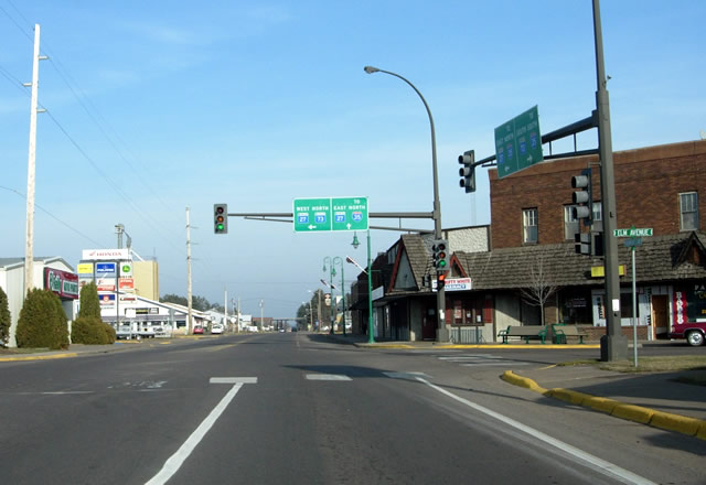
At the Highway 27 / 73 junction in Moose Lake,U.S. 61's junction with Highway 27 from 1934 until 1970, and with Highway 73 after 1935 (Highway 73 was originally marked as Highway 63 from 1934 to 1935). Highway 27 continues straight ahead on the old route.
 North Moose Lake Business Loop
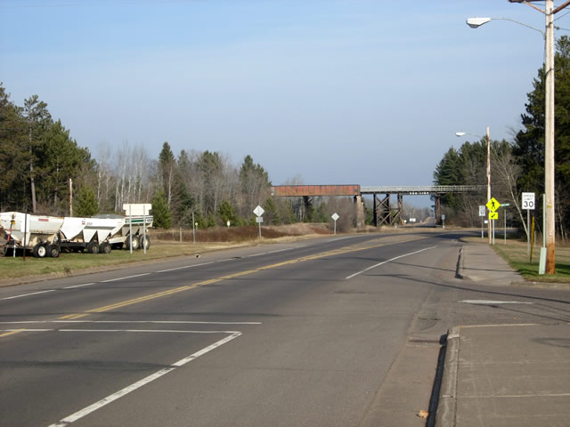
Approaching the old Soo Line trestle on the north side of Moose Lake.
The junction of Highway 27 and County Road 61 was rebuilt in about 1971 to feed traffic on Highway 27 back towards I-35 (the old highway ran towards the railroad trestle).
 County Road 61 - Moose Lake to Otter Creek

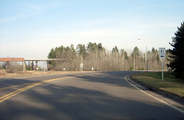
The old soo-line railroad trestle over County Road 61, constructed in 1915 according to MnDOT records.
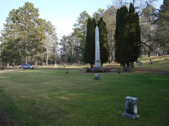
A cemetery just north of the trestle on the east side of the highway.
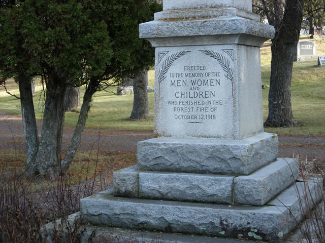
The large obelisk in the previous photo is a memorial to those lost in the 1918 forest fire, one of the greatest natural disasters in Minnesota history (see wikipedia article here).
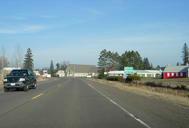
Entering Barnum.
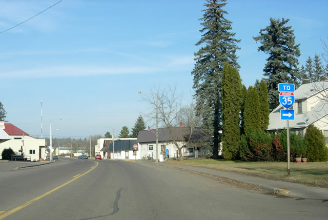
In Barnum.
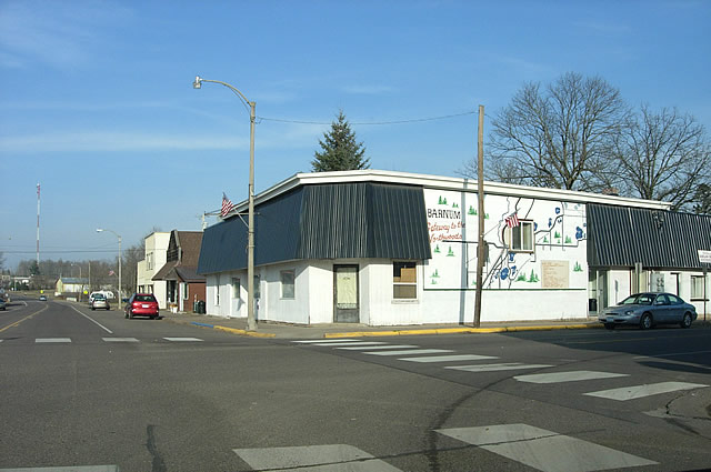
"Barnum - Gateway to the Northwoods".
Temporary Connection at Otter Creek
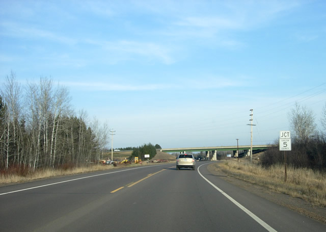
After a distance, County Road 61 again passes under I-35 at the junction with County Road 5 (which incidentally was the original alignment of State Highway 33 - the route to Cloquet- from 1934 until 1948).
From 1967 to 1970 a set of temporary ramps just ahead fed traffic on U.S. 61 onto I-35 towards Carlton. The ramps were removed when I-35 was completed southward to Moose Lake in 1970 (see map below).
>> Continue to Part 5 - Carlton County Road 5 to Highway 210
- Home
- Part 1 - Wyoming to Pine City
- Part 2 - Pine City to Sandstone
- Part 3 - Sandstone to Moose Lake
- Part 4 - Moose Lake to Carlton County Road 5 (Otter Creek)
- Part 5 - Carlton County Road 5 to Highway 210
- Part 6 - Highway 210 to I-35 at the Carlton / St. Louis County Line