 Historic U.S. 61: Chestnut Street, La Crescent
Chestnut Street
Located In: City of La Crescent, Houston County
Bypassed: 1941
Length: 0.62 miles
Also Marked As:
 1933-1941
 1926-1941*
 Until 1934
 Until 1934*
*South of Main Street Only.
U.S. 61's original alignment through the town of La Crescent was along what is now Chestnut Street. Construction of the modern divided highway in 1941 left behind two separate sections of the old road. 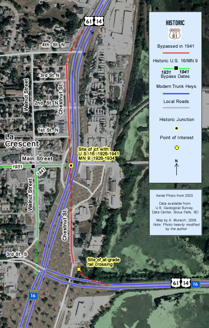
The above map was made using an aerial photo from 2003, which I have
"shopped" to show the roads as configured after the 2007/08
reconstruction.
Construction
The road between the state line and 4th Street in La Crescent had originally been paved with 18 feet of concrete in 1925, only 16 years before being bypassed.
Bypass History
The old road was bypassed by the construction of a divided highway from the state line to the north end of La Crescent in 1941. The new alignment got rid of an at-grade rail crossing at the southeast entrance to town via an overpass (this bridge wasn't replaced until 2008.)
Current Status
The southern surviving section was originally incorporated into an access road that ran beneath the new railroad overpass and also served as a bypass of the U.S. 61 / U.S. 16 junction (the curve towards the old rail crossing was closed). The old concrete pavement on the south section was removed in 1952 when the road was widened. A motel and a few other business along the south section were demolished as part of the recent 2007/08 reconstruction of the U.S. 61 / MN 16 junction and adjacent service drives, removing nearly all of the remaining historic character. This construction also rebuilt the old road once again, and removed the direct connection to modern 61 at the north end, replacing it with a new series of service drives (see map, right for details).
The north section was retained as a service drive, running north from 1st Street to a point just south of 4th Street (the connection to 4th Street was eventually closed off). The old concrete pavement remained intact until about 2008, when it was finally paved over with a new layer of blacktop.
Historic Junction:  (1926-1941)
  (1926-1934)
The original junction with U.S. 16 and Constitutional Route 9 was located at the intersection of Main and Chestnut Streets on a site now occupied by the modern four-lane road. U.S. 16 was another of the original U.S. routes introduced in late 1926. It joined what was originally State Highway 9 across Minnesota's southern tier counties. The route is now marked as State Highway 16.
Photo Tour
North Section - Photos from October, 2007 unless otherwise stated.
Street View of the northern section of Chestnut Street. Click on the icon in the upper-right corner to see full-screen.
View Larger Map
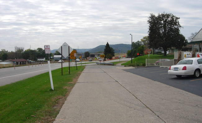
Looking south down Chestnut Street towards the intersection with 1st Street. The original concrete
pavement is visible. Note the construction on the other side of the modern
highway, where another piece of the old concrete road once existed, but has
now been destroyed. The original concrete was finally paved over with blacktop in 2008. Just ahead is the site of the original junction with U.S. 16/ CR 9.
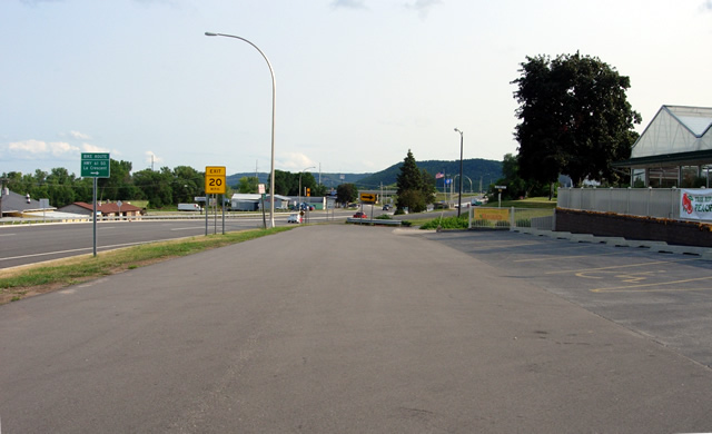
About the same location in August, 2009. Note how the concrete has been paved over.

Looking north.
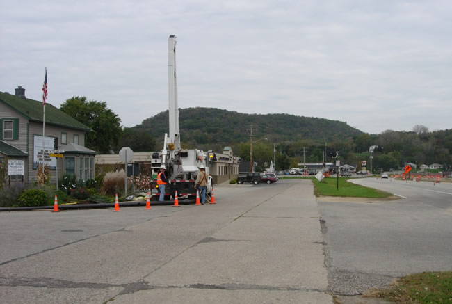
Looking north at 2nd Street.
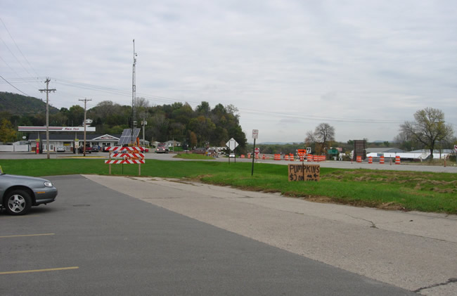
The north end of the old pavement, just short of 4th Street. The service drive
once continued a bit further, connecting with both 4th Street and the modern
highway.
South Section - Photos from August, 2009
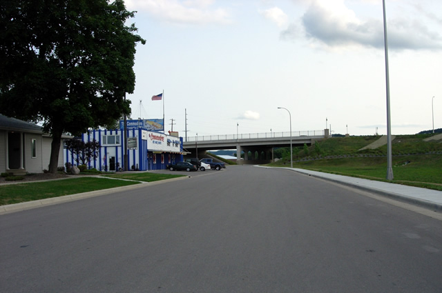
Looking south on Chestnut Street towards the modern U.S. 61 overpass. This section was totally rebuilt in 2007/08. A motel once existed on the right (west) side of the road. The site is now occupied by a drainage pond. The old road originally curved to the left (east) just short of the modern U.S. 61 overpass towards an at-grade railroad crossing.
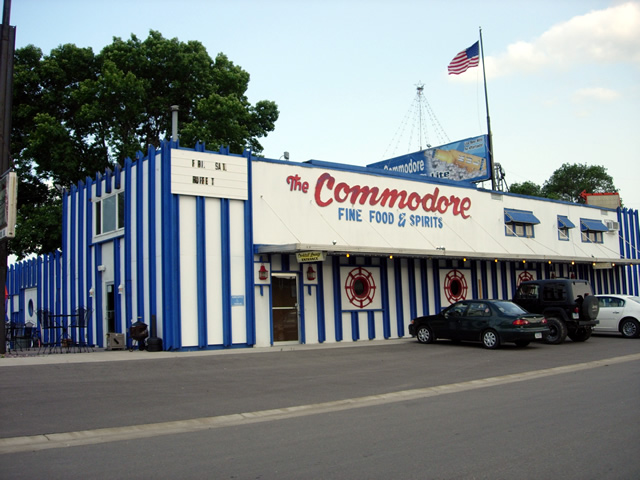
The Commodore - Fine Food and Sprits (I should have stopped in for the buffet).
