 Historic U.S. 61: Gitchi Gami Trail at Gooseberry State Park
Gitchi Gami Trail at Gooseberry State Park
Located: Along the east side of State Highway 61 just north of the Gooseberry RIver Bridge in Gooseberry Falls State Park, Silver Creek Township, Lake County.

Historic Context: Part of the original North Shore Scenic Highway constructed in the 1920's.
Length: 0.70 miles
Constructed: 1924
Bypassed: 1999, by construction of a new alignment.
Also Part Of:

Status: Rebuilt into a paved recreation trail, old road surface removed.
Access: Public, no motorized vehicles. Best accessed via trails leading from Gooseberry State Park.
More U.S. 61 Articles
North >> Old Alignment at the Split Rock River
South >> Gooseberry Falls Concourse

A section of the Gitchi Gami Trail at Gooseberry State Park is actually a repurposed section of the old 1920's-era north shore highway. Originally constructed in 1924, the road remained in use for over 70 years before finally being replaced by a new alignment in 1999.
The trail separates from the new highway at two points, where the new alignment was blasted through the bedrock instead of being built on top of or around the rock. This was done to remove some very sharp curves that were way below modern standards, as well as reduce the grades on the hills in the area.
Map
Key
- Blue = Repurposed/rebuilt
- Orange = Old alignment, removed.
Photos - taken in April, 2010.

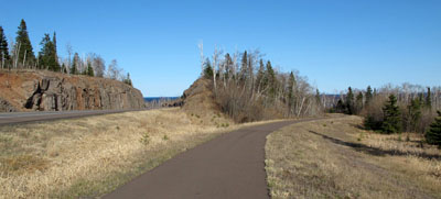
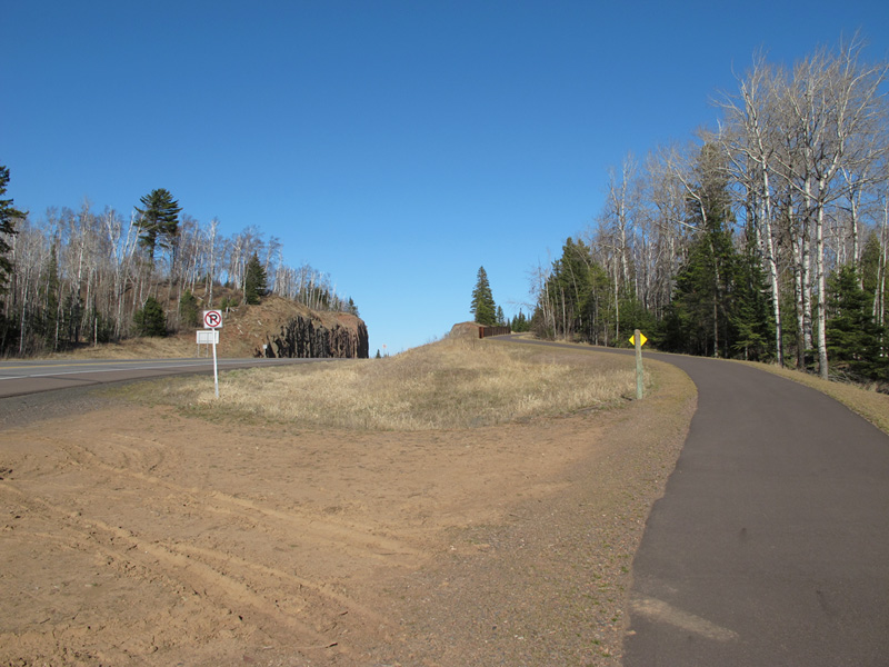
Looking north from the Gitchi Gami Trail, just north of the Gooseberry River. On the right you can see the trail steeply ascending to the old road-grade, while on the left you can see the new alignment blasted through the rock in 1999.

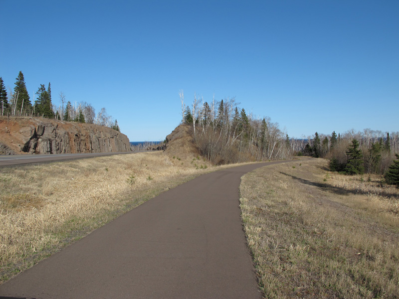
A bit further along the trail. Again, you can see the separation between the alignment of the old road (right), and the new (left).

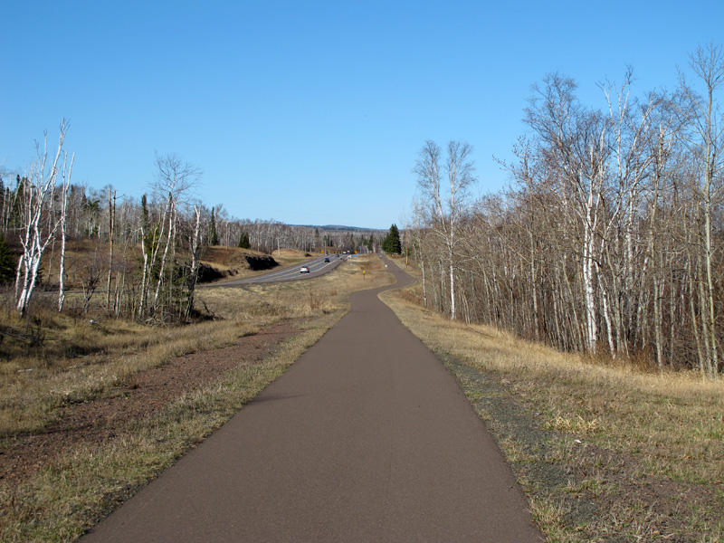
The end of the old alignment, looking north. Note the sharp curve ahead on the trail, where it moves off of the old road grade. If you look carefully, you can see how the trail is lined up with the highway on the horizon, which still uses the alignment built in the 1920's.
Sources
- Construction Project Log - Control Section 3806
- Right-of-Way Map # 200-151
- Construction Plan, S.P. 61=1-01, June, 1923.
