 Historic U.S. 61: Beaver River Bridges
Beaver River Bridges
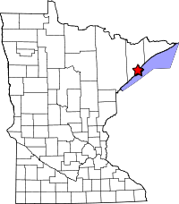
Located: on State Hwy 61 in the city of Beaver Bay, Lake County.
Current Bridge
Bridge #: 9395
Design: Steel girder, 3 spans (85', 135', 65'), 2-27' roadways with a 4' center island.
Constructed: 1958/1959
Also On: 
Status: Open, rated as structurally adequate.
Old Bridge
Bridge #: 3458
Design: Steel arch, 3 spans (151' main span, two side spans, 74' 8", 73' 7.75"), 20' roadway.
Constructed: 1924
Historic Context: Part of the original North Shore Scenic Highway constructed in the 1920's.
Also On: 
Status: Demolished. Only the footings of the piers remain.
Original Bridge
Date constructed and design unknown.
Status: Demolished. Only the footings remain.
More U.S. 61 Articles
North >> Old Highway at Palisade Head
South >> Algoma Way

The Beaver River Bridge is a rather standard modern steel structure built in 1959. A quick trip to its underside, however, reveals the remains of its two predecessors.
The previous bridge was built in 1924 during construction of the first North Shore Scenic Highway. It was a steel arch design, similar to that used at Gooseberry Falls. It replaced an even earlier bridge down-river that had been in use for an old local road (the original highway was further inland).
The bridge built in 1924 only lasted for 34 years before being replaced (its roadway was a woefully inadequate 20 feet wide). Today, all that remains of it, and its smaller predecessor are the piers or abutments.

Elevation of the old Beaver River Bridge
Map
Photos - taken in April, 2010.
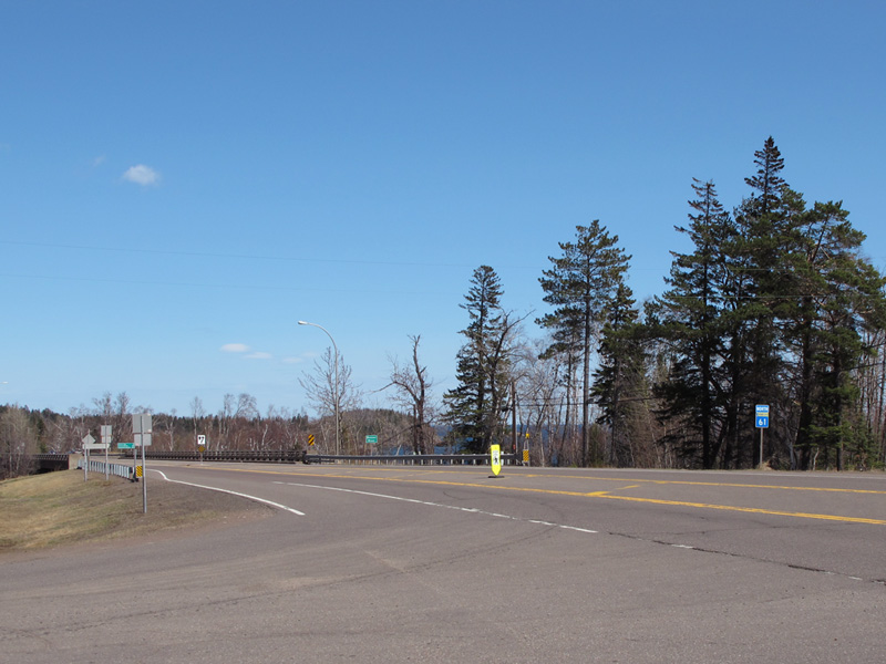
The Beaver Bay Bridge as seen from Highway 61, looking northbound.
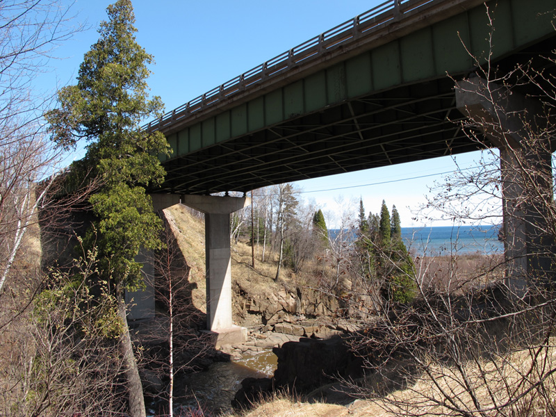
The underside of the Beaver Bay Bridge, showing its steel girder construction.

The remains of the south pier of the old bridge built in 1924 and replaced only 34 years later.
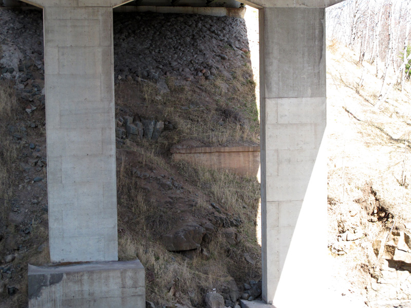
Remains of the old bridge's north pier visible across the river.
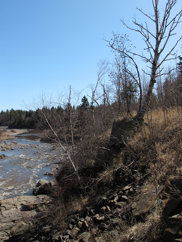
The old south abutment of the original bridge, looking south towards Lake Superior.
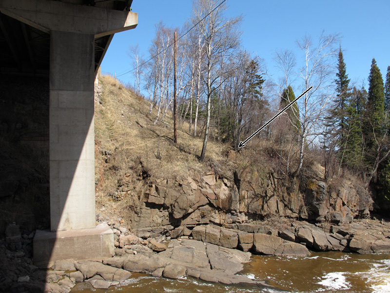
Looking north across the Beaver River towards the remains of the original bridge's north abutment (pointed to by the arrow).
Sources
- MNDOT. Construction Project Log: Control Section 3806
- Minnesota Highway Department. Construction Plan for Trunk Hwy No. 61-1 Between Little Marais and Two Harbors: S.P. 61=1-01, June, 1923.
- Minnesota Highway Department. Construction Plan for Bridge 3458, 1923.
- Minnesota Highway Department. Construction Plan for Bridge 9395, 1958.
