
Home >> Projects >> U.S. 61 >> Modern Highway Photo Galleries
 Modern Highway Photos: U.S. 61 in the North Metro (Maplewood to Wyoming)
August, 2009

Looking north up U.S. 61 from Roselawn Avenue in Maplewood near Phalen-Keller Regional Park. The divided highway here was originally completed in 1953. It once served as the primary northern gateway to St. Paul before being replaced by I-35E.
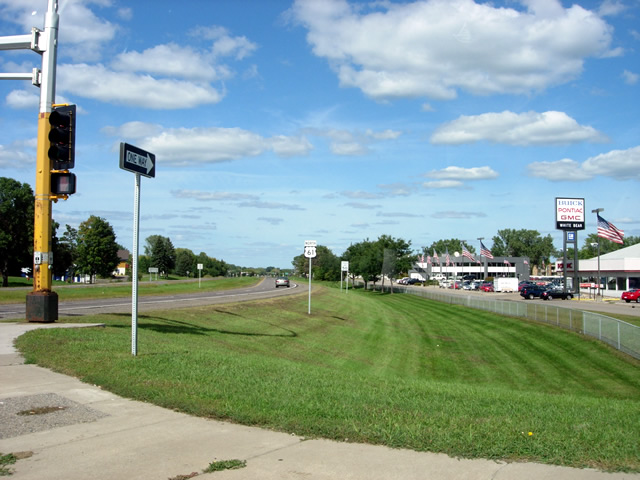
Looking north on U.S. 61 in White Bear Lake at Cedar Avenue. This stretch of U.S. 61 is lined with one of the largest concentrations of car dealerships in the Twin Cities Metro Area.
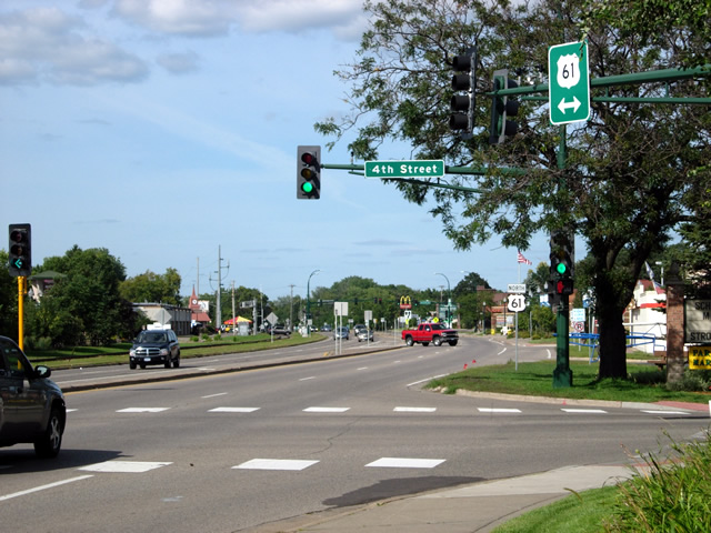
Looking north on U.S. 61 at 4th Street in downtown White Bear Lake.
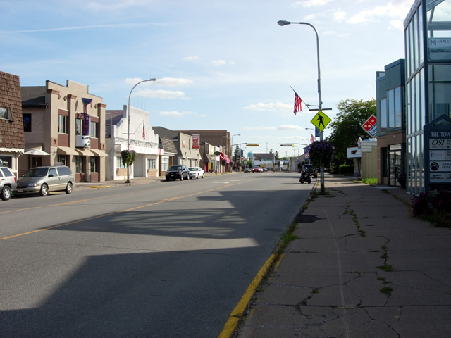
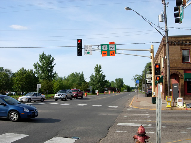
Looking south on U.S. 61 in downtown Forest Lake.
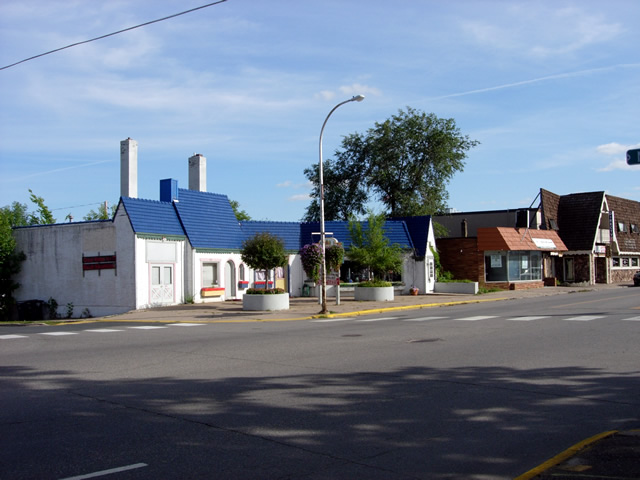
An historic gas station on U.S. 61 in downtown Forest Lake at 2nd Avenue NE (photo looking southeast).

Another view of the gas station.

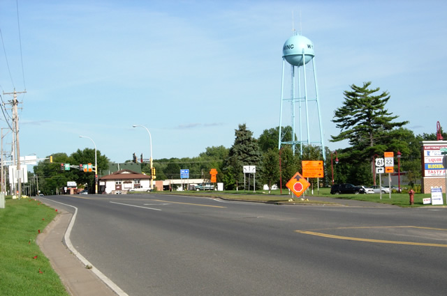
Looking north on U.S. 61 in Wyoming, approaching the turn towards I-35.
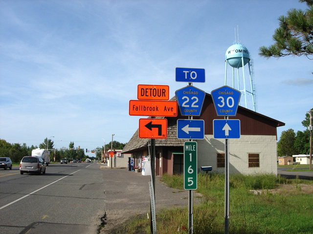
Another shot to the north in Wyoming. Note the sign for County Road 30, which occupies U.S. 61's historic alignment towards Duluth. Also note the mile marker and the Wyoming water tower.
In downtown Wyoming at U.S. 61's turn towards I-35. Ahead is U.S. 61's historic alignment towards Duluth, now County Road 30. Highway 61 has made this turn since 1969.

The end of U.S. 61 at its junction with I-35 in Wyoming (the junction is on top of the hill to the right of the sign).

Every end is a beginning...turning around and looking east at the first U.S. 61 marker at the junction with I-35.

Another shot to the east on U.S. 61 as it enters Wyoming at the junction with I-35.
One last shot to the east on U.S. 61 in Wyoming. Note the route marker indicating the right turn towards St. Paul.
(On a side note, doesn't the Wyoming water tower look like Sputnik?).
>> Back to the Photo Gallery Index
>> back to top