Home >> Projects >> U.S. 61 >> Modern Highway Photo Galleries
 Modern Highway Photos: At Highwood Avenue, St. Paul
January, 2006
Just a quick series of shots, taken on a dreary January day while I was investigating an old alignment of U.S. 61 (Point Douglas Road) near Highwood Avenue on the east side of St. Paul.

Looking west on Highwood Avenue towards the modern divided highway
carrying U.S. 61 and U.S. 10. Highwood was once part of the Highway 100 Twin Cities
ring-route from 1934 until about 1962,

Looking south on Point Douglas Road (the northbound service drive) at Highwood
Avenue. The modern highway is on the right. Notice the recreation trail ahead.
This was the approximate site of one of the old junctions with State Highway
100 from 1934 to 1962.

Looking north on Pt. Douglas Road (the northbound service drive) at Springside
Drive in St. Paul. The modern 4-lane version of U.S. 61 / U.S. 10 is visible
on the left. It was last reconstructed in the mid 80's (completed in about
1986) to modernize the previous divided highway constructed way
back around 1940. The original 2-lane road is in the distance, center.

Looking back to the southwest, a bit further to the north, at the park-n-ride
at Lower Afton Road. U.S. 61 / U.S. 10's alignment was heavily revised here
in the mid 80's. The old divided highway was aligned along what is now the
southbound lane (on the far right). The northbound lane was given a better
separation in the 1986 reconstruction, passing through part of what had previously
been a roadside park, now gone.

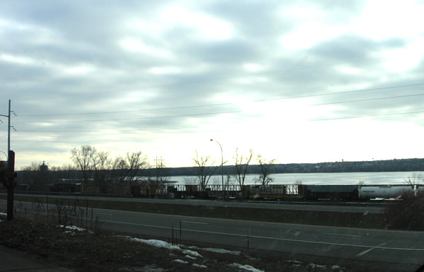
Looking west across U.S. 61 / U.S. 10 from the park-n-ride, with Pigs Eye
Lake in the background (sunset in winter in Minnesota, depressing, isn't it?)
