Hello all. Just a quick entry today. I finally finished my initial redesign of the “Map Collection” section of deadpioneer.com! I will be continuing work on it in the coming weeks. For now, I just wanted to get rid of all the old pages that used the old site design. As of today, all pages on deadpioneer.com are up to the new standard!
Old Bridges in the Cannon River Valley
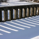
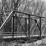
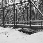
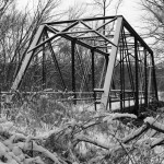
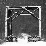
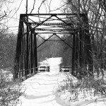
Kim Mensinger has sent in some nice photos of a couple of  the historic bridges on the Cannon Bottom Road, just west of Red Wing, which was bypassed in 1931 (it was once part of U.S. 61 and Constitutional Route 3). These bridges are scheduled to be demolished in the next few years. For more info on this historic highway, see the article here (from my U.S. 61 project, pops in a new window/tab).
Truncating State Highway 16
Update – 8/1/2009 – It turns out this information is false, Highway 16 is still signed between La Crescent and the Wisconsin State Line.
It has come to my attention that State Highway 16 has been truncated at its junction with U.S. 61 and U.S. 14 in La Crescent. It had previously duplexed with these two routes to the Wisconsin State Line, continuing as Wisconsin State Highway 16 into La Crosse. The state routes on either side of the border were created in the wake of the retirement of U.S. 16 back around 1979.
Have any readers from from the La Crescent/La Crosse area noticed this change? I assume it occurred as part of the recent reconstruction of the junction. For comparative purposes, see the pictures from 2006 and from 2007 .
Alternatives for the Hastings Bridge Replacement
MnDOT has released images of the three proposed designs for the replacement of the U.S. 61 bridge over the Mississippi River at Hastings. These include a single tied arch (similar in appearance to the old bridge), a dual box girder crossing (like the new 35W bridge in Minneapolis), and a single cable bridge. Although I like the idea of the tied arch to maintain the appearance of the crossing, I think the dual box girder design makes more sense in terms of cost and logistics. I wouldn’t even consider the cable bridge, as I really hate how it looks, especially in the context of Hastings’ historic downtown.
Anyone else have thoughts on this?
When finding old roads is a bad thing
I came across this little article on Boston.com about the state of Vermont ordering towns to claim their historic road right-of-ways, or lose public access to them.
Looks like the state of Vermont has a problem on its hands. Perhaps they should have kept better track of right-of-ways? Now if only Minnesota needed someone to do this for them….
http://www.boston.com/news/local/vermont/articles/2009/03/04/vermonters_search_for_roads_of_yore/
Old U.S. 14 Between Winona and Stockton
“Highway Explorer” has found and photographed three long lost sections of U.S. 14 between the towns of Winona and Stockton in southeastern Minnesota, complete with original pavement and retaining walls! These sections were once part of one of Minnesota’s first concrete highways, constructed by Winona County between 1914 and 1915. This early highway was actually only half paved: one lane was made up of a narrow 8 foot wide strip of concrete pavement, while the other was given a standard gravel surface. The old road hugged the bluff line closely and made many dangerous sharp turns above steep wooded cliffs and hills.
The road between Winona and Stockton became part the trunk highway system in 1921 as part of Constitutional Route 7. It later became part of U.S. 14 in 1926 (the two routes were marked together until 1934).  Decorative stone retaining walls were constructed in two locations on the hill in 1921 to improve safety, along with some standard wood guard rails (sections of both stone walls survive today, read on for pictures/ details). The original paved road remained in use until 1932, when the Department of Highways constructed a new grade along the alignment still in use today, which was designed to lessen the severity of the sharpest turns and reduce the steepness of the grade.
The first section we have photos for is just east of the scenic overlook near the top of the Stockton Hill, east of a deep gully on the north side of the highway. (Click here to see a birds eye view of the location, the stone wall is just visible.) The old road is only accessible by foot; blasting of the cliff face just to the east has disconnected the old road from the new highway.
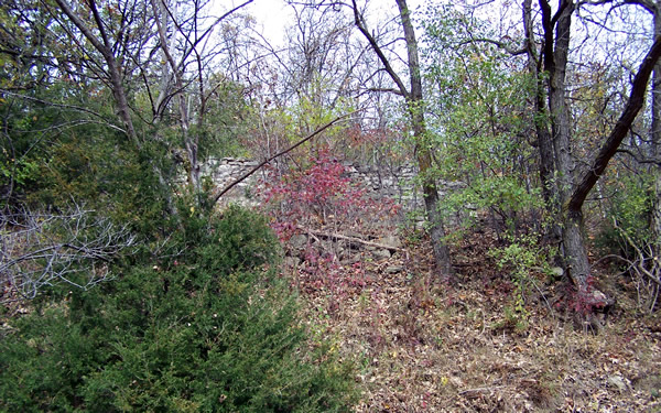
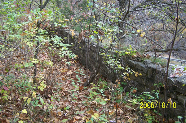
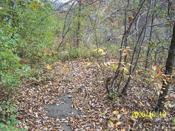
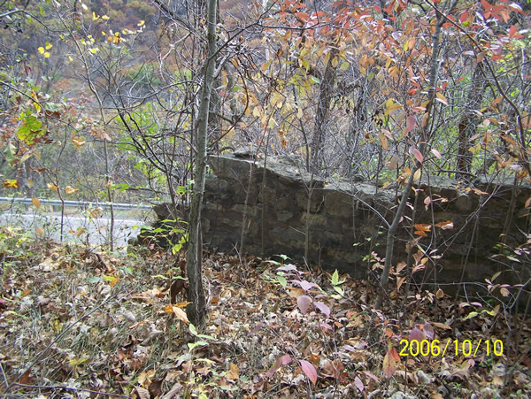
The next section is just above, and to the west of the scenic overlook at the top of Stockton Hill. It can be accessed on foot via an entrance on Quarry Hill Road (Rural Route 3), just northeast of the monastery. This surviving section is much longer, extending east into the woods until it ends at a sheer cliff, blasted for construction of the modern highway. (Click here for a birds eye view).
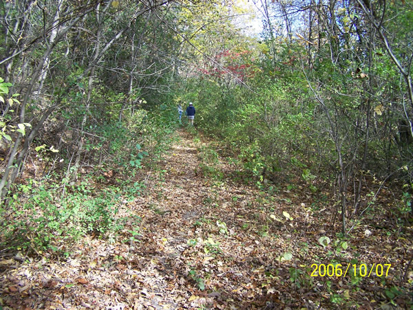
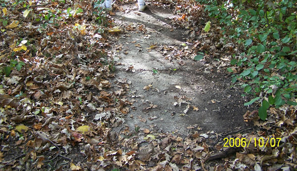
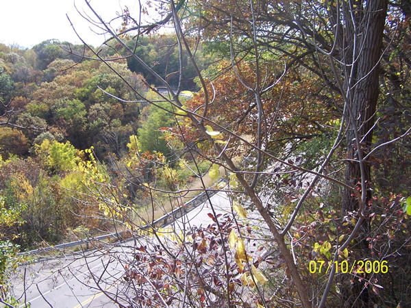
The third segment was once known as the “Devil’s Elbow”, which was an incredibly sharp turn on the western slope of the Stockton Hill. Click here to see it in bird’s eye view). This was the second location where stone retaining walls were constructed in 1921. This curve was also a favorite of photographers of the time.

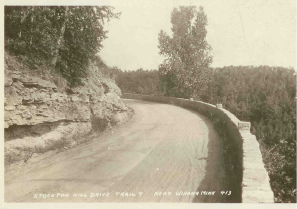
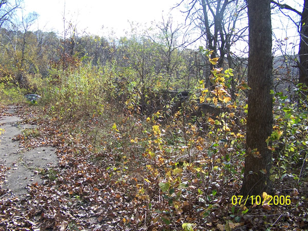
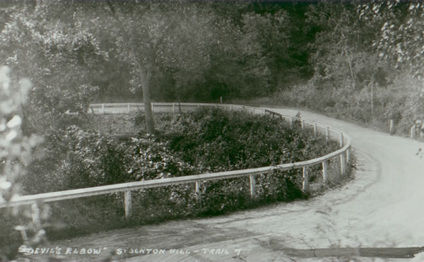
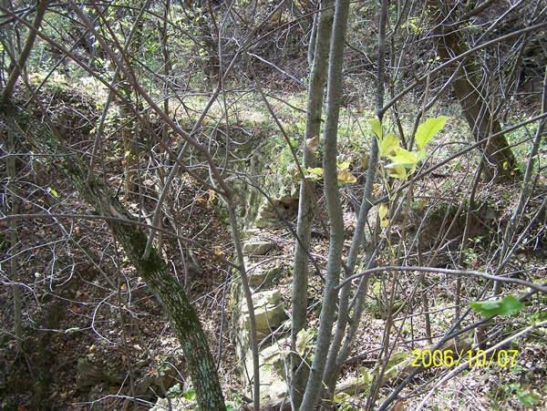
Thanks to “Highway Explorer” for these great finds!
Welcome to the new Lost Minnesota Highways Blog!
I have added this blog to deadpioneer.com in an attempt to get a little more “web 2.0”, and allow more participation from my fellow road geeks. It will feature pictures and stories sent in by readers, as well as posts by me about updates to the site, highway news, and information on my wanderings. The scope will widen a bit to include any “lost” or disused transportation infrastructure in Minnesota or elsewhere, be it trunk highways, railroads, military roads, county roads, or just about anything you can think of.
In other site news, I’ve done some tweaking to the main page’s format, cleaning up the css code and such. Content wise, I’m working on a major update to the map section of the site (which is still using the old site design), as well as preparing to post some pics sent in previously by readers (pending some permission / crediting info I need to get). Let me know if you have any comments on any of the design updates.
I don’t know about anyone else, but I’m starting to get major league cabin fever. Another snow storm is apparently heading our way for the end of the week, so that’s frustrating. Hopefully we can get a nice melt-off soon, and I can get out and get some more photos for the U.S. 61 project.
