
>> Articles
Old Highway 1 and Bridge 5742, Dundas
Page 3 - More Photos!!
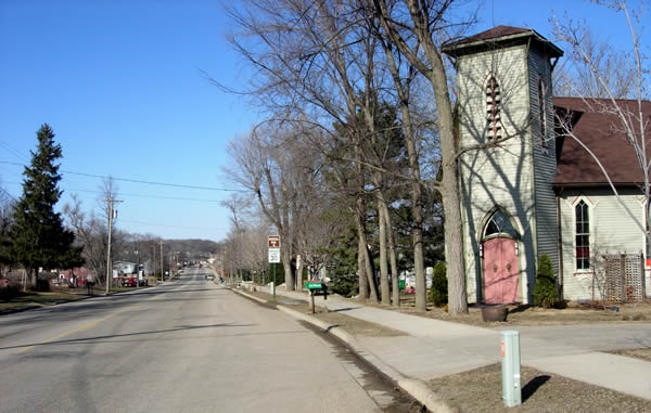
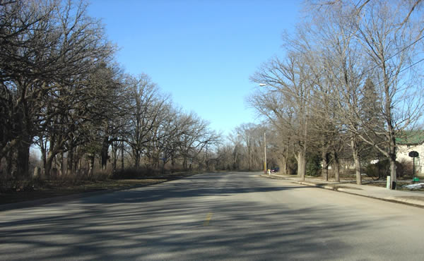
Looking north through Dundas.
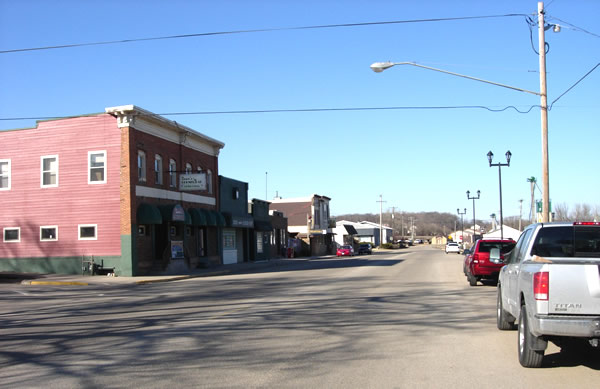
Downtown Dundas, which now consists almost entirely of eating and drinking
establishments.
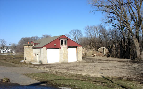
Mill ruins in Dundas, one of which has been cleverly converted into what
looks like a public works garage.
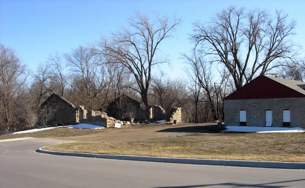
Another view of the ruins, this time looking south.
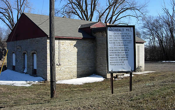
The historic marker at the old mills in Dundas matches the description of
the original metal markers erected as part of the first cooperative effort
between the Minnesota Historic Society and the Department of Highways to
mark historic sites along highways back in the 1920's and 30's (according
to MnDOT historic roadside inventory reports), and could very well be original!
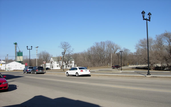
Looking north towards the intersection of Railway and Hester Streets in
Dundas. The highway turned right at the intersection on the left side of
the photo to approach the bridges over the Cannon River.

Looking east down Hester Street across the double span across the Cannon
River. The bridges were constructed in 1978 to replace the original truss
structures.
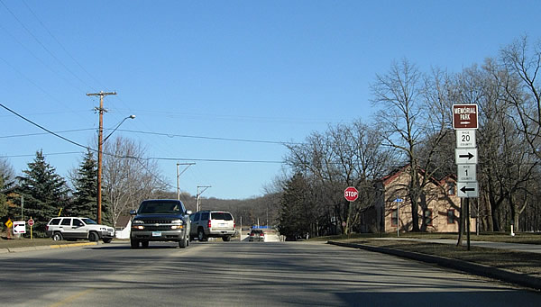
At the intersection of Hester and 2nd Streets on the east side of Cannon
River. The old highway followed the route of County Road 1, taking a left
at this intersection.
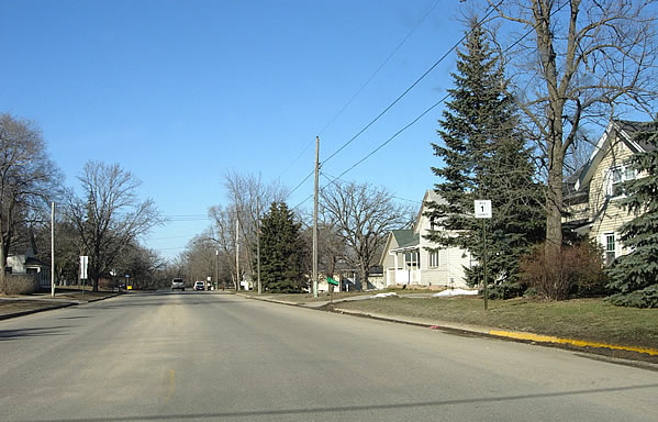
Looking north down 2nd Street in Dundas.
Approaching the last curve out of Dundas at the cemetery on 2nd Street.
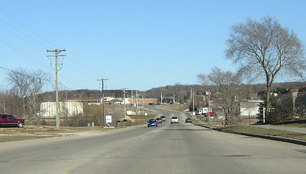
Looking east on County Road 1 towards modern Highway 3 (at the stoplight
ahead) and Northfield. This portion of the old highway has been extensively
reconstructed.